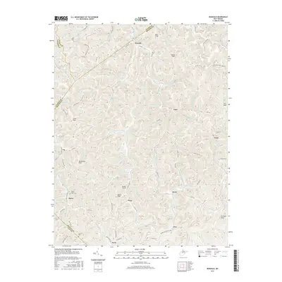
2016 Map of Rosedale
USGS Topo · Published 2016About this map
Rosedale serves as a central hub in this corner of West Virginia where Braxton, Gilmer, and Calhoun counties meet. The landscape is defined by a dense network of winding creeks and narrow hollows, such as Brushy Hollow and Pigeonroost Fork, which have long dictated the placement of small communities and family farmsteads. Local history is preserved in several rural burial grounds including Earl Miller Cem, Boar Cem, and Mollohan Cem, often located on higher ground near ridges like Hamric Ridge. Small settlements like Tague, Elmira, and Servia are linked by winding secondary roads like Co Rte 9 and Co Rte 16. The Elmira Baptist Church stands as a spiritual landmark in the southwestern quadrant, while distinctive summits such as Rattlesnake Knob, Teeny Knob, and Eli Taylor Knob provide a sense of the vertical relief that characterizes this part of the Appalachian Plateau.
Find a feature on this map
96 named features on this map. Tap any name to fly to it.
Don’t see what you’re looking for? This feature index may not catch every label — zoom into the map to look around manually.
Map Details
Editions of this 2016 Rosedale Map
This is the sole edition of this map. No revisions or reprints were ever made.
Other maps of this area

1893 · Sutton
USGS Topo · 1:125,000

1906 · Glenville
USGS Topo · 1:62,500

1906 · Otter
USGS Topo · 1:62,500

1907 · Otter
USGS Topo · 1:62,500

1907 · Arnoldsburg
USGS Topo · 1:62,500

1908 · Gassaway
USGS Topo · 1:48,000

1910 · Gassaway
USGS Topo · 1:62,500

1925 · Glenville
USGS Topo · 1:62,500

1925 · Arnoldsburg
USGS Topo · 1:62,500

1927 · Arnoldsburg
USGS Topo · 1:62,500