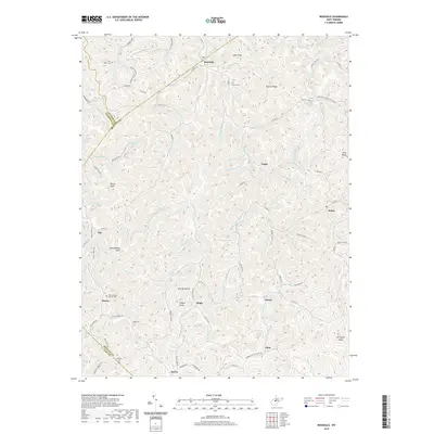
2019 Map of Rosedale
USGS Topo · Published 2019About this map
The Right Fork Steer Cr and its complex network of tributaries dictate the settlement pattern of this West Virginia landscape, where small communities follow the winding valley floors. At the intersection of Braxton, Gilmer, Calhoun, and Clay counties, the map highlights the proximity of rural hamlets like Rosedale and Tague, connected by narrow routes such as Hamric Rd and Tague Rd. The presence of numerous family and church burial grounds, including the Earl Miller Cem and Mollohan Cem, provides essential points of interest for genealogists tracing lineage in the area. High points like Boar Knob and Potato Knob rise above hollows like Brushy Hollow, illustrating the deeply dissected topography that defines the region. Religious life is centered at the Elmira Baptist Church near Elmira, while other small clusters like Dingy and Dessie mark long-standing rural neighborhoods along the southern portion of the quadrangle.
Find a feature on this map
101 named features on this map. Tap any name to fly to it.
Don’t see what you’re looking for? This feature index may not catch every label — zoom into the map to look around manually.
Map Details
Editions of this 2019 Rosedale Map
This is the sole edition of this map. No revisions or reprints were ever made.
Other maps of this area

1893 · Sutton
USGS Topo · 1:125,000

1906 · Glenville
USGS Topo · 1:62,500

1906 · Otter
USGS Topo · 1:62,500

1907 · Otter
USGS Topo · 1:62,500

1907 · Arnoldsburg
USGS Topo · 1:62,500

1908 · Gassaway
USGS Topo · 1:48,000

1910 · Gassaway
USGS Topo · 1:62,500

1925 · Glenville
USGS Topo · 1:62,500

1925 · Arnoldsburg
USGS Topo · 1:62,500

1927 · Arnoldsburg
USGS Topo · 1:62,500