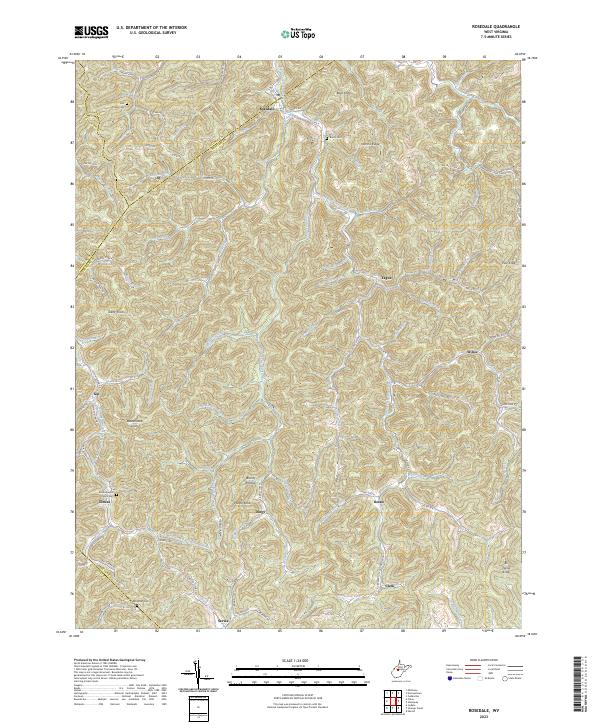
2023 Map of Rosedale
USGS Topo · Published 2023About this map
Rosedale and its surrounding hill country sit at the junction of the Gilmer and Braxton county lines, where the landscape is defined by the tight drainages of the Left Fork-West Fork Little Kanawha River. This modern survey reveals a highly dispersed settlement pattern, with small communities like Elmira and Servia connected by narrow ridge and hollow roads such as Burns Fork Rd and Hamric Rd. Genealogists can trace family names through landmarks like the Mollohan Cem and Bourn Cem, while the location of the Elmira Baptist Church serves as a local anchor for the area's rural history. The terrain is marked by distinctive elevations including Boar Knob and Rattlesnake Knob, illustrating the deeply dissected topography typical of the region's interior where transport follows the path of winding waters like Mill Fork and Sleith Fork.
Find a feature on this map
100 named features on this map. Tap any name to fly to it.
Don’t see what you’re looking for? This feature index may not catch every label — zoom into the map to look around manually.
Map Details
Editions of this 2023 Rosedale Map
This is the sole edition of this map. No revisions or reprints were ever made.
Other maps of this area

1893 · Sutton
USGS Topo · 1:125,000

1906 · Glenville
USGS Topo · 1:62,500

1906 · Otter
USGS Topo · 1:62,500

1907 · Otter
USGS Topo · 1:62,500

1907 · Arnoldsburg
USGS Topo · 1:62,500

1908 · Gassaway
USGS Topo · 1:48,000

1910 · Gassaway
USGS Topo · 1:62,500

1925 · Glenville
USGS Topo · 1:62,500

1925 · Arnoldsburg
USGS Topo · 1:62,500

1927 · Arnoldsburg
USGS Topo · 1:62,500