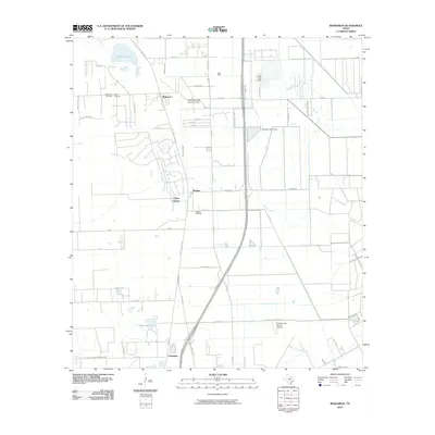
2010 Map of Rosharon
USGS Topo · Published 2010About this map
The settlement of Rosharon and the surrounding Brazoria County landscape are defined by a complex network of bayous and drainage systems in this 2010 topographic survey. The area's water-managed geography is clearly visible through features like Austin Bayou, Flores Bayou, and the Archer Lake Levee. Near the center of the sheet, the Bonney Oil Field indicates the region's industrial ties to energy extraction, while the smaller communities of Bonney, China Grove, and Chenango mark established rural nodes.
Find a feature on this map
52 named features on this map. Tap any name to fly to it.
Don’t see what you’re looking for? This feature index may not catch every label — zoom into the map to look around manually.
Map Details
Editions of this 2010 Rosharon Map
This is the sole edition of this map. No revisions or reprints were ever made.
Other maps of this area
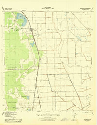
1943 · Rosharon
USGS Topo · 1:31,680
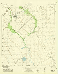
1943 · Danbury
USGS Topo · 1:31,680
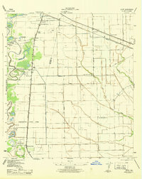
1943 · Juliff
USGS Topo · 1:31,680
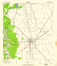
1943 · Angleton
USGS Topo · 1:24,000
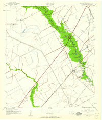
1943 · Chocolate Bayou
USGS Topo · 1:24,000

1950 · Houston
USGS Topo · 1:250,000
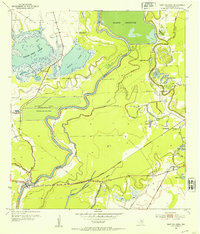
1952 · East Columbia
USGS Topo · 1:24,000
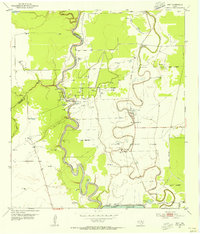
1953 · Otey
USGS Topo · 1:24,000
1953 · Thompsons
USGS Topo · 1:24,000
1956 · Manvel
USGS Topo · 1:24,000