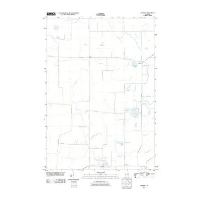
2010 Map of Rosholt
USGS Topo · Published 2010About this map
Rosholt and Alban anchor the southern portion of this landscape, where the geography is defined by a dense network of glacial lakes and small winding waterways. The Little Wolf River cuts across the northern and eastern edges of the quadrangle, while the interior is punctuated by numerous named bodies of water such as Long Lake, Stenson Lake, and the cluster containing Tree Lake and Penny Lake.
Find a feature on this map
42 named features on this map. Tap any name to fly to it.
Don’t see what you’re looking for? This feature index may not catch every label — zoom into the map to look around manually.
Map Details
Editions of this 2010 Rosholt Map
This is the sole edition of this map. No revisions or reprints were ever made.
Other maps of this area

1899 · Wausau
USGS Topo · 1:125,000

1902 · Wausau
USGS Topo · 1:125,000

1953 · Hatley
USGS Topo · 1:48,000

1954 · Wittenberg
USGS Topo · 1:48,000

1955 · Tigerton
USGS Topo · 1:48,000

1955 · Rosholt
USGS Topo · 1:48,000

1955 · Green Bay
USGS Topo · 1:250,000

1964 · Wittenberg
USGS Topo · 1:62,500

1964 · Hatley
USGS Topo · 1:62,500

1969 · Rosholt
USGS Topo · 1:24,000