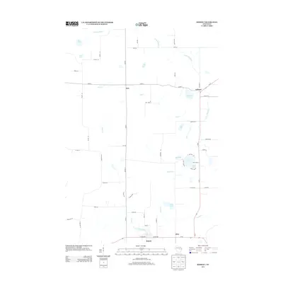
2013 Map of Rosholt
USGS Topo · Published 2013About this map
The Little Wolf River meanders through the northeastern reaches of this landscape, anchoring a network of waterways that define the geography near Galloway. This 2013 survey reveals a rural Portage County character dominated by glacial lakes and creek systems, including Holt Cr and Flume Cr. The southern border is defined by the village of Rosholt and the settlement of Alban, where Bradley Cr and Flume Creek converge.
Find a feature on this map
56 named features on this map. Tap any name to fly to it.
Don’t see what you’re looking for? This feature index may not catch every label — zoom into the map to look around manually.
Map Details
Editions of this 2013 Rosholt Map
This is the sole edition of this map. No revisions or reprints were ever made.
Other maps of this area

1899 · Wausau
USGS Topo · 1:125,000

1902 · Wausau
USGS Topo · 1:125,000

1953 · Hatley
USGS Topo · 1:48,000

1954 · Wittenberg
USGS Topo · 1:48,000

1955 · Tigerton
USGS Topo · 1:48,000

1955 · Rosholt
USGS Topo · 1:48,000

1955 · Green Bay
USGS Topo · 1:250,000

1964 · Wittenberg
USGS Topo · 1:62,500

1964 · Hatley
USGS Topo · 1:62,500

1969 · Rosholt
USGS Topo · 1:24,000