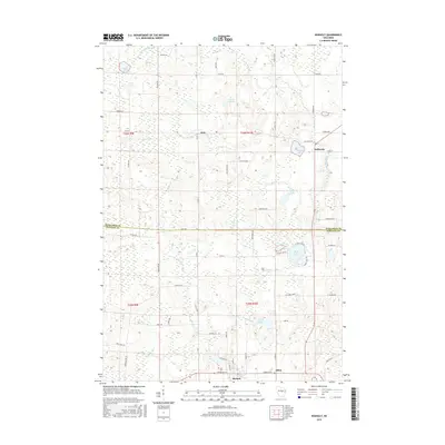
2015 Map of Rosholt
USGS Topo · Published 2015About this map
The village of Rosholt and the surrounding township of Alban anchor this mid-2010s survey of the central Wisconsin landscape. Situated along the Marathon Co and Portage Co border, the area is characterized by a dense network of glacial water bodies and meandering streams. Small settlements like Galloway and Holt are connected by a grid of named rural roads, such as Galloway Dr and Co Rd VV, reflecting the region's agricultural and residential layout.
Find a feature on this map
47 named features on this map. Tap any name to fly to it.
Don’t see what you’re looking for? This feature index may not catch every label — zoom into the map to look around manually.
Map Details
Editions of this 2015 Rosholt Map
This is the sole edition of this map. No revisions or reprints were ever made.
Other maps of this area

1899 · Wausau
USGS Topo · 1:125,000

1902 · Wausau
USGS Topo · 1:125,000

1953 · Hatley
USGS Topo · 1:48,000

1954 · Wittenberg
USGS Topo · 1:48,000

1955 · Tigerton
USGS Topo · 1:48,000

1955 · Rosholt
USGS Topo · 1:48,000

1955 · Green Bay
USGS Topo · 1:250,000

1964 · Wittenberg
USGS Topo · 1:62,500

1964 · Hatley
USGS Topo · 1:62,500

1969 · Rosholt
USGS Topo · 1:24,000