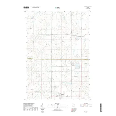
2018 Map of Rosholt
USGS Topo · Published 2018About this map
Rosholt and the township of Alban anchor the southern portion of this landscape, where the northern central Wisconsin timber and farm country meets the Marathon Co line. The terrain is defined by a dense network of glacial water features, including the Little Wolf River and various small lakes like Stenson Lake and Lions Lake. These water bodies are connected by numerous small drainages such as Holt Cr, Flume Cr, and Bradley Cr. Smaller settlements like Galloway and Holt dot the northern sections, linked by a rural road system that includes historical routes like Bobsiding Rd and Pulaski Rd. The map illustrates a region where local drainage patterns and section-line roads have dictated the placement of homesteads and small communities across the Portage and Marathon county border.
Find a feature on this map
60 named features on this map. Tap any name to fly to it.
Don’t see what you’re looking for? This feature index may not catch every label — zoom into the map to look around manually.
Map Details
Editions of this 2018 Rosholt Map
This is the sole edition of this map. No revisions or reprints were ever made.
Other maps of this area

1899 · Wausau
USGS Topo · 1:125,000

1902 · Wausau
USGS Topo · 1:125,000

1953 · Hatley
USGS Topo · 1:48,000

1954 · Wittenberg
USGS Topo · 1:48,000

1955 · Tigerton
USGS Topo · 1:48,000

1955 · Rosholt
USGS Topo · 1:48,000

1955 · Green Bay
USGS Topo · 1:250,000

1964 · Wittenberg
USGS Topo · 1:62,500

1964 · Hatley
USGS Topo · 1:62,500

1969 · Rosholt
USGS Topo · 1:24,000