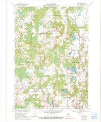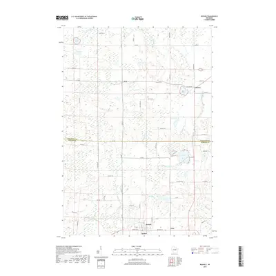
1955 Map of Rosholt
USGS Topo · Published 1963About this map
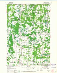
The Little Wolf River and Tomorrow River drain a glaciated landscape of kettle lakes and woodland in this mid-century survey of the Marathon Co Portage Co border. Small farming hamlets and parish centers define the social geography, notably at Rosholt, where the Mill Pond sits at the town's edge, and Polonia, centered on its local church and school. The map documents a period of educational consolidation, marking several rural institutions as defunct, such as the Tomorrow River Sch (Abandoned) and Harrison Sch (Abandoned). The southern edge of the quadrangle is anchored by the Minneapolis St Paul and Sault Ste Marie railroad, serving the village of Nelsonville and the agricultural siding at Stockton. From the isolated St Marys Ch in the town of Stockton to the clustered lakeside settlements of Galloway, the map preserves the mid-century layout of Central Wisconsin's Polish and Scandinavian heritage lands.
Find a feature on this map
73 named features on this map. Tap any name to fly to it.
Don’t see what you’re looking for? This feature index may not catch every label — zoom into the map to look around manually.
Map Details
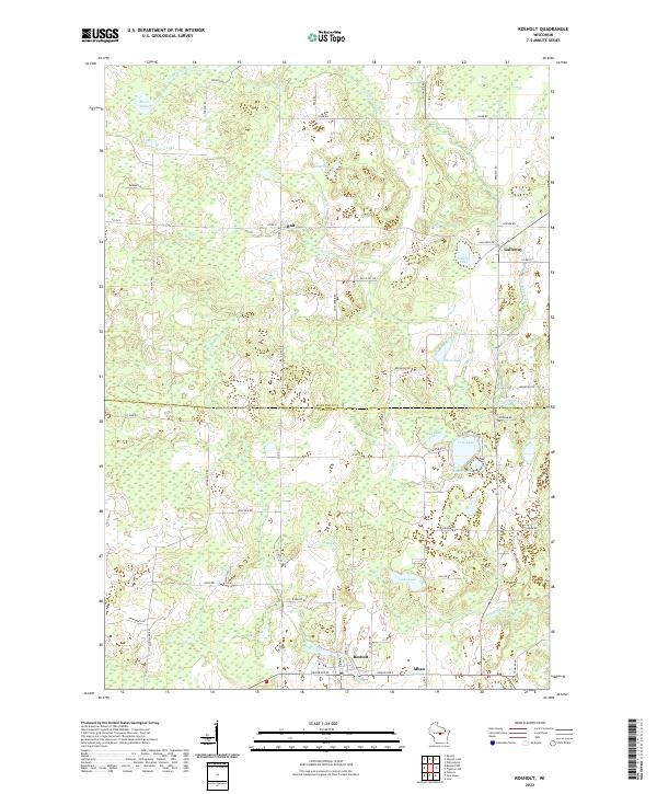
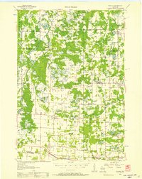
Editions of this 1955 Rosholt Map
2 editions found
Historical Maps of Stevens Point Through Time
7 maps found