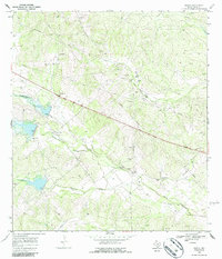
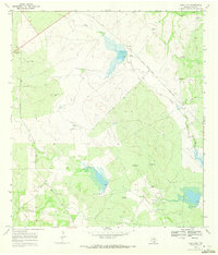
1968 Map of Rosita
USGS Topo · Published 1987About this map
The brush country of Duval County is defined here by a network of drainage systems and family-rooted landmarks during the late 1960s. The eponymous settlement of Rosita sits at the convergence of several small valleys, while the surrounding landscape is marked by the distinct presence of genealogy-rich sites such as Ruiz Cem, Alaniz Cem, and Rangel Cem. These small family cemeteries, often paired with schools like Rangel Sch, suggest a pattern of dispersed rural living tied to specific landholdings.
Find a feature on this map
21 named features on this map. Tap any name to fly to it.
Don’t see what you’re looking for? This feature index may not catch every label — zoom into the map to look around manually.
Map Details
Editions of this 1968 Rosita Map
2 editions found
Other maps of this area

1956 · Benavides
USGS Topo · 1:62,500

1956 · Rosita Ranch
USGS Topo · 1:62,500

1956 · Freer
USGS Topo · 1:62,500

1956 · Laredo
USGS Topo · 1:250,000

1968 · Benavides NW
USGS Topo · 1:24,000

1968 · Parrilla Creek NE
USGS Topo · 1:24,000
1968 · Benavides NE
USGS Topo · 1:24,000
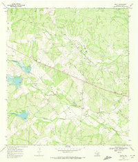
1968 · Rosita
USGS Topo · 1:24,000
1969 · Rosita NE
USGS Topo · 1:24,000
1969 · Rosita NW
USGS Topo · 1:24,000