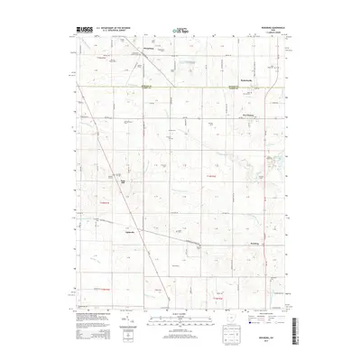
2013 Map of Rossburg
USGS Topo · Published 2013About this map
The Mercer County and Darke County line divides this agricultural landscape, where a network of family-owned farms and small settlements defines the rural character of Western Ohio. New Weston and Burkettsville anchor the northern section, while Rossburg and Lightsville lie to the south. The area is notable for its numerous parish cemeteries, including Saint Pauls Catholic Cem and Saint Bernard Cem, reflecting the deep-rooted community history of the region.
Find a feature on this map
114 named features on this map. Tap any name to fly to it.
Don’t see what you’re looking for? This feature index may not catch every label — zoom into the map to look around manually.
Map Details
Editions of this 2013 Rossburg Map
This is the sole edition of this map. No revisions or reprints were ever made.
Other maps of this area

1908 · St. Henry
USGS Topo · 1:62,500

1915 · Fort Recovery
USGS Topo · 1:48,000

1916 · Winchester
USGS Topo · 1:48,000

1918 · Winchester
USGS Topo · 1:62,500

1918 · Fort Recovery
USGS Topo · 1:62,500

1943 · Winchester
USGS Topo · 1:62,500

1953 · Muncie
USGS Topo · 1:250,000

1956 · Muncie
USGS Topo · 1:250,000

1960 · Union City
USGS Topo · 1:24,000

1960 · Fort Recovery
USGS Topo · 1:24,000