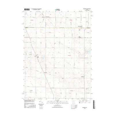
2016 Map of Rossburg
USGS Topo · Published 2016About this map
Sharpsburg and Burkettsville anchor the northern boundary of this western Ohio landscape, where the Mercer-Darke County Line divides the agricultural grid. The area is defined by its small, scattered rural villages such as New Weston, Lightsville, and Rossburg, many of which evolved around early crossroads and parish life. A dense network of local cemeteries, including Saint Bernard Cem, Fairview Cem, and New Rose Hill Cem, suggests a long-settled community with deep genealogical roots. The terrain is drained by several significant waterways, with the headwaters of the Wabash River and the Mississinewa River cutting through the fields alongside the North Fork Stillwater River. This 2016 survey shows the enduring 19th-century township system, with roads like Sharpsburg Rd and Lightsville Northern Rd following the established sectional lines of the Northwest Territory's original survey.
Find a feature on this map
76 named features on this map. Tap any name to fly to it.
Don’t see what you’re looking for? This feature index may not catch every label — zoom into the map to look around manually.
Map Details
Editions of this 2016 Rossburg Map
This is the sole edition of this map. No revisions or reprints were ever made.
Other maps of this area

1908 · St. Henry
USGS Topo · 1:62,500

1915 · Fort Recovery
USGS Topo · 1:48,000

1916 · Winchester
USGS Topo · 1:48,000

1918 · Winchester
USGS Topo · 1:62,500

1918 · Fort Recovery
USGS Topo · 1:62,500

1943 · Winchester
USGS Topo · 1:62,500

1953 · Muncie
USGS Topo · 1:250,000

1956 · Muncie
USGS Topo · 1:250,000

1960 · Union City
USGS Topo · 1:24,000

1960 · Fort Recovery
USGS Topo · 1:24,000