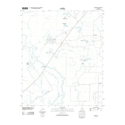
2010 Map of Rosser
USGS Topo · Published 2010About this map
The Trinity River and its intricate network of sloughs and cutoffs dominate this North Texas landscape, where the main channel meets the East Fork Trinity River. The settlement of Rosser sits at the nexus of several local thoroughfares, including Railroad St and Iron Bridge Dr, situated just north of the State Highway 34 Bridge. The surrounding terrain is heavily influenced by mid-century water management projects, evidenced by the numerous Soil Conservation Service reservoirs and infrastructure like the Hillside Diversion Terrace.
Find a feature on this map
51 named features on this map. Tap any name to fly to it.
Don’t see what you’re looking for? This feature index may not catch every label — zoom into the map to look around manually.
Map Details
Editions of this 2010 Rosser Map
This is the sole edition of this map. No revisions or reprints were ever made.
Other maps of this area

1891 · Dallas
USGS Topo · 1:125,000

1893 · Dallas
USGS Topo · 1:125,000

1954 · Dallas
USGS Topo · 1:250,000

1956 · Ennis
USGS Topo · 1:62,500

1956 · Kaufman
USGS Topo · 1:62,500

1958 · Dallas
USGS Topo · 1:250,000

1959 · India
USGS Topo · 1:24,000

1959 · Seagoville
USGS Topo · 1:62,500

1960 · Grays Prairie
USGS Topo · 1:24,000

1962 · Ennis East
USGS Topo · 1:24,000