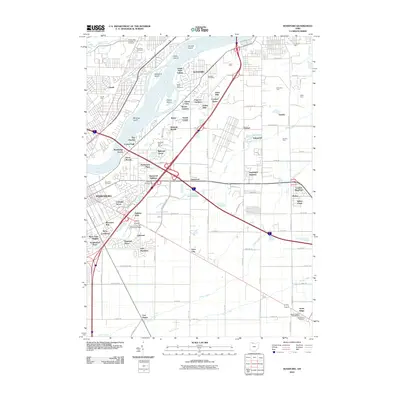
2010 Map of Rossford
USGS Topo · Published 2010About this map
The Maumee River and its industrial rail corridors define this landscape south of Toledo in the early 21st century. The map reveals the intense concentration of transportation infrastructure, including massive rail operations at Stanley Yard, Harris Yard, and Gould Yard. These yards flank the suburban growth of Rossford and Perrysburg, where numerous residential developments such as Glenwood Addition, Holiday Park, and Oak Meadows have filled in the spaces between the historic riverfront and the hinterlands.
Find a feature on this map
103 named features on this map. Tap any name to fly to it.
Don’t see what you’re looking for? This feature index may not catch every label — zoom into the map to look around manually.
Map Details
Editions of this 2010 Rossford Map
This is the sole edition of this map. No revisions or reprints were ever made.
Other maps of this area

1900 · Maumee Bay
USGS Topo · 1:62,500

1900 · Toledo
USGS Topo · 1:62,500

1901 · Bowling Green
USGS Topo · 1:62,500

1901 · Elmore
USGS Topo · 1:62,500

1903 · Bowling Green
USGS Topo · 1:62,500

1903 · Elmore
USGS Topo · 1:62,500

1934 · Point Place
USGS Topo · 1:24,000

1934 · Rossford
USGS Topo · 1:24,000

1935 · Walbridge
USGS Topo · 1:24,000

1935 · Maumee
USGS Topo · 1:24,000