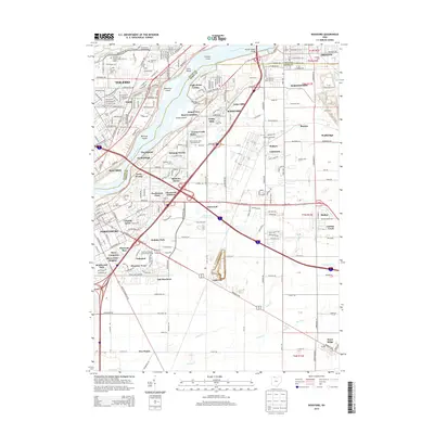
2013 Map of Rossford
USGS Topo · Published 2013About this map
The Maumee River serves as the central artery for this industrial and residential corridor, dividing Toledo and Maumee from the growing suburbs of Rossford and Perrysburg. The landscape is defined by its logistics and rail infrastructure, featuring expansive facilities like Harris Yard, Stanley Yard, and Oakdale Yard. These rail hubs reflect the region's enduring role as a transportation crossroads. Further south, the terrain transitions into established local communities and landmarks such as Lime City, Stony Ridge, and the Penta County Joint Vocational School.
Find a feature on this map
73 named features on this map. Tap any name to fly to it.
Don’t see what you’re looking for? This feature index may not catch every label — zoom into the map to look around manually.
Map Details
Editions of this 2013 Rossford Map
This is the sole edition of this map. No revisions or reprints were ever made.
Other maps of this area

1900 · Maumee Bay
USGS Topo · 1:62,500

1900 · Toledo
USGS Topo · 1:62,500

1901 · Bowling Green
USGS Topo · 1:62,500

1901 · Elmore
USGS Topo · 1:62,500

1903 · Bowling Green
USGS Topo · 1:62,500

1903 · Elmore
USGS Topo · 1:62,500

1934 · Point Place
USGS Topo · 1:24,000

1934 · Rossford
USGS Topo · 1:24,000

1935 · Walbridge
USGS Topo · 1:24,000

1935 · Maumee
USGS Topo · 1:24,000