2023 Map of Rossford
USGS Topo · Published 2023About this map
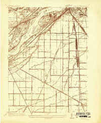
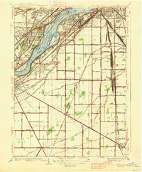
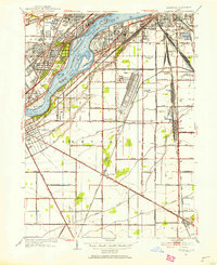
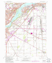
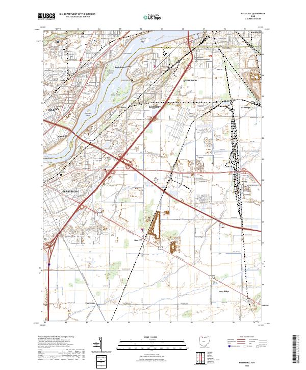
The Maumee River defines the heart of this region, separating the industrial and academic hubs of Toledo and Maumee from the communities of Rossford and Perrysburg in Wood County. A series of river islands, including Grassy Island and Marengo Island, sit in the channel near Eagle Point Colony. The map provides substantial detail for genealogists and researchers, particularly with its depiction of several burial grounds such as the Toledo State Hospital Old Cem and Toledo State Hospital New Cem, alongside the Anshai Sfard Cem and Hullford Cem.
Find a feature on this map
44 named features on this map. Tap any name to fly to it.
Don’t see what you’re looking for? This feature index may not catch every label — zoom into the map to look around manually.
Map Details
Editions of this 2023 Rossford Map
This is the sole edition of this map. No revisions or reprints were ever made.
Historical Maps of East Lane Mobile Manor Through Time
5 maps found