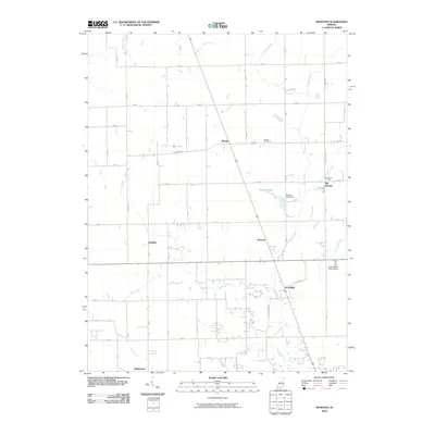
2010 Map of Rosston
USGS Topo · Published 2010About this map
Whitestown and the surrounding rural communities of Boone County define this portion of the Indiana heartland as it appeared in the early 21st century. The landscape is heavily structured by its agricultural heritage, with an intricate network of drainage systems like Padgett Ditch, Lane Ditch, and Kemper Ditch supporting the surrounding fields. These watercourses converge toward Eagle Creek, which winds southward through the center of the quadrangle. Smaller settlements such as Gadsden and Rosston serve as historic nodes along the local roads, while the northern reaches include Waugh and Big Springs. Near the eastern boundary, Wurster Lake and the Wurster Lake Dam provide a break in the grid-like pattern of rural lanes. Local history is preserved in sites like Bethel Cemetery and Parr-Jones Cemetery, which mark the generational ties of the area's residents.
Find a feature on this map
27 named features on this map. Tap any name to fly to it.
Don’t see what you’re looking for? This feature index may not catch every label — zoom into the map to look around manually.
Map Details
Editions of this 2010 Rosston Map
This is the sole edition of this map. No revisions or reprints were ever made.
Other maps of this area

1952 · Carmel
USGS Topo · 1:24,000

1953 · Westfield
USGS Topo · 1:24,000

1953 · Fayette
USGS Topo · 1:24,000

1953 · Rosston
USGS Topo · 1:24,000

1953 · Zionsville
USGS Topo · 1:24,000

1953 · Lebanon
USGS Topo · 1:24,000

1953 · Danville
USGS Topo · 1:250,000

1953 · Indianapolis
USGS Topo · 1:250,000

1955 · Danville
USGS Topo · 1:250,000

1956 · Danville
USGS Topo · 1:250,000