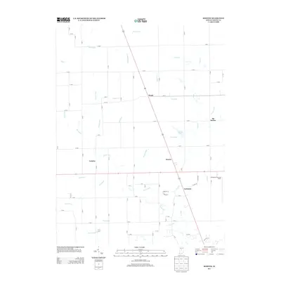
2013 Map of Rosston
USGS Topo · Published 2013About this map
Eagle Cr and its many tributaries, including Mounts Run and Jackson Run, define the drainage patterns of this Boone County landscape. The area is characterized by a dense network of managed watercourses such as McCoy Ditch and Neese Ditch, supporting the productive agricultural terrain surrounding Rosston and Gadsden. In the eastern portion of the sheet, the Indianapolis Executive Airport stands as a significant modern landmark, contrasting with the smaller, long-established hamlets of Northfield, Waugh, and Big Springs. The grid-based road system, dominated by numbered routes like N 600 E and E 100 S, provides precise navigation through these rural communities. Local hydrology is further detailed by features like Wurster Lake and the winding Finley Cr, illustrating the complex water management essential to this part of Indiana.
Find a feature on this map
82 named features on this map. Tap any name to fly to it.
Don’t see what you’re looking for? This feature index may not catch every label — zoom into the map to look around manually.
Map Details
Editions of this 2013 Rosston Map
This is the sole edition of this map. No revisions or reprints were ever made.
Other maps of this area

1952 · Carmel
USGS Topo · 1:24,000

1953 · Westfield
USGS Topo · 1:24,000

1953 · Fayette
USGS Topo · 1:24,000

1953 · Rosston
USGS Topo · 1:24,000

1953 · Zionsville
USGS Topo · 1:24,000

1953 · Lebanon
USGS Topo · 1:24,000

1953 · Danville
USGS Topo · 1:250,000

1953 · Indianapolis
USGS Topo · 1:250,000

1955 · Danville
USGS Topo · 1:250,000

1956 · Danville
USGS Topo · 1:250,000