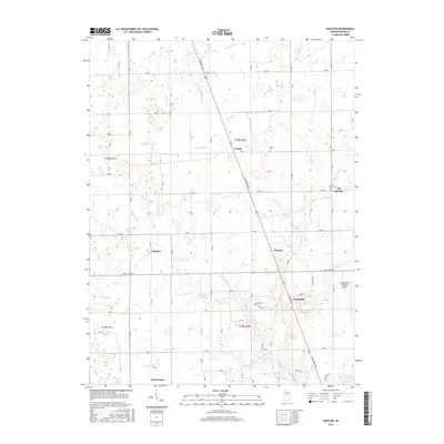
2016 Map of Rosston
USGS Topo · Published 2016About this map
N Michigan Road cuts a diagonal path across this central Indiana landscape, serving as a primary corridor through a region defined by a intricate system of agricultural drainage and small rural crossroads. The settlement pattern is anchored by Whitestown to the south and Rosston along the highway, while smaller clusters like Gadsden, Waugh, and Big Springs suggest the historical nodes of local commerce and community life. The presence of Bethel Cem and the Parr-Jones Cem provides valuable reference points for genealogical research, situated among the sections of Boone County's grid system.
Find a feature on this map
75 named features on this map. Tap any name to fly to it.
Don’t see what you’re looking for? This feature index may not catch every label — zoom into the map to look around manually.
Map Details
Editions of this 2016 Rosston Map
This is the sole edition of this map. No revisions or reprints were ever made.
Other maps of this area

1952 · Carmel
USGS Topo · 1:24,000

1953 · Westfield
USGS Topo · 1:24,000

1953 · Fayette
USGS Topo · 1:24,000

1953 · Rosston
USGS Topo · 1:24,000

1953 · Zionsville
USGS Topo · 1:24,000

1953 · Lebanon
USGS Topo · 1:24,000

1953 · Danville
USGS Topo · 1:250,000

1953 · Indianapolis
USGS Topo · 1:250,000

1955 · Danville
USGS Topo · 1:250,000

1956 · Danville
USGS Topo · 1:250,000