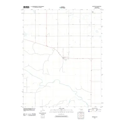
2010 Map of Rosston
USGS Topo · Published 2010About this map
Rosston serves as the primary hub in this corner of Northwest Oklahoma, situated at the junction of several section-line roads and regional thoroughfares. The town sits just north of the Beaver River, which carves a winding path across the southern half of the landscape. This drainage system is bolstered by Kiowa Creek, which joins the river from the south. The surrounding terrain is organized by a rigid grid of rural routes, including N1740 Rd and E0120 Rd, reflecting the enduring homesteading patterns of the High Plains. To the northeast, the Pleasant Ridge Cemetery remains a significant point for genealogical research, while Redoubt Creek flows through the upper sections of the quadrangle. The map documents the persistent agricultural and ranching character of Harper County at the start of the 21st century.
Find a feature on this map
18 named features on this map. Tap any name to fly to it.
Don’t see what you’re looking for? This feature index may not catch every label — zoom into the map to look around manually.
Map Details
Editions of this 2010 Rosston Map
This is the sole edition of this map. No revisions or reprints were ever made.
Other maps of this area

1954 · Perryton
USGS Topo · 1:250,000

1955 · Woodward
USGS Topo · 1:250,000

1958 · Perryton
USGS Topo · 1:250,000

1958 · Woodward
USGS Topo · 1:250,000

1970 · Gate
USGS Topo · 1:24,000
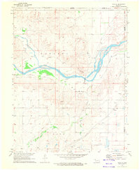
1970 · Gate NE
USGS Topo · 1:24,000
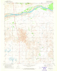
1970 · Rosston NW
USGS Topo · 1:24,000

1970 · Rosston NE
USGS Topo · 1:24,000

1971 · Rosston SE
USGS Topo · 1:24,000

1971 · Rosston
USGS Topo · 1:24,000