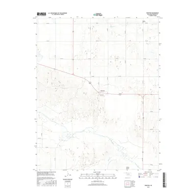
2016 Map of Rosston
USGS Topo · Published 2016About this map
Rosston serves as the primary settlement on this High Plains landscape in Harper County, situated along the intersection of major regional corridors. The town's layout is centered on Beaver St and D St, reflecting a standard grid common to small rural Oklahoma hubs. To the south, the wide, braided channel of the Beaver River dominates the hydrology, joined by Kiowa Cr near the southeastern corner of the map. The topography here transition from flat agricultural tablelands into the more complex, eroded drainage patterns surrounding the river valley.
Find a feature on this map
23 named features on this map. Tap any name to fly to it.
Don’t see what you’re looking for? This feature index may not catch every label — zoom into the map to look around manually.
Map Details
Editions of this 2016 Rosston Map
This is the sole edition of this map. No revisions or reprints were ever made.
Other maps of this area

1954 · Perryton
USGS Topo · 1:250,000

1955 · Woodward
USGS Topo · 1:250,000

1958 · Perryton
USGS Topo · 1:250,000

1958 · Woodward
USGS Topo · 1:250,000

1970 · Gate
USGS Topo · 1:24,000
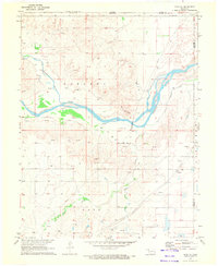
1970 · Gate NE
USGS Topo · 1:24,000
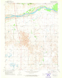
1970 · Rosston NW
USGS Topo · 1:24,000

1970 · Rosston NE
USGS Topo · 1:24,000

1971 · Rosston SE
USGS Topo · 1:24,000

1971 · Rosston
USGS Topo · 1:24,000