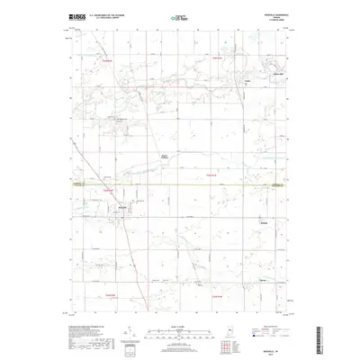
2019 Map of Rossville
USGS Topo · Published 2019About this map
Wildcat Creek and the Middle Fork Wildcat Creek carve through the agricultural landscape of this northern Indiana region, where the historic Adams Mill still stands near Cutler. The area is characterized by a dense network of country roads following the Public Land Survey System, connecting small rural centers such as Rossville, Sedalia, and Moran. The distribution of burial grounds throughout the countryside, including Rossville Cem, Hufford Cem, and Mount Hope Cem, offers significant genealogical markers for families rooted in Clinton and Carroll Counties. Local infrastructure is further detailed by recreational paths like the Rossville Park Trail and the C.J. Baker Memorial Trl, which follow the natural drainage patterns of Campbells Run and Cripe Run.
Find a feature on this map
59 named features on this map. Tap any name to fly to it.
Don’t see what you’re looking for? This feature index may not catch every label — zoom into the map to look around manually.
Map Details
Editions of this 2019 Rossville Map
This is the sole edition of this map. No revisions or reprints were ever made.
Other maps of this area

1953 · Danville
USGS Topo · 1:250,000

1955 · Danville
USGS Topo · 1:250,000

1956 · Danville
USGS Topo · 1:250,000

1961 · Michigantown
USGS Topo · 1:24,000

1961 · Mulberry
USGS Topo · 1:24,000

1961 · Pyrmont
USGS Topo · 1:24,000

1961 · Rossville
USGS Topo · 1:24,000

1961 · Burlington
USGS Topo · 1:24,000

1961 · Frankfort
USGS Topo · 1:24,000

1962 · Deer Creek
USGS Topo · 1:24,000