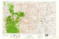
1962 Map of Roswell
USGS Topo · Published 1962About this map
The Sacramento Mountains and Capitan Mountains dominate the western half of this landscape, rising above the extensive Lava flows and Malpais near Carrizozo. This 1955 compilation, revised in the early 1960s, documents the strategic and natural geography of southeastern New Mexico, from the high Sierra Blanca Peak down to the Pecos River valley. The urban center of Roswell is shown alongside Walker Air Force Base, while the U S Marine Hospital Reservation and Fort Stanton represent the region's long-standing institutional presence.
Find a feature on this map
66 named features on this map. Tap any name to fly to it.
Don’t see what you’re looking for? This feature index may not catch every label — zoom into the map to look around manually.
Map Details
Editions of this 1962 Roswell Map
This is the sole edition of this map. No revisions or reprints were ever made.
Other maps of this area
1916 · Tularosa
USGS Topo · 1:125,000
1916 · Point Of Sands
USGS Topo · 1:125,000
1918 · Oscura Peak
USGS Topo · 1:125,000
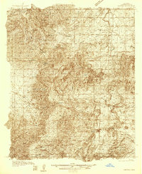
1934 · Capitan
USGS Topo · 1:48,000
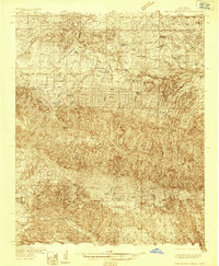
1935 · Capitan Mountains
USGS Topo · 1:48,000
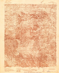
1936 · Arabela
USGS Topo · 1:48,000
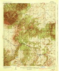
1937 · Capitan
USGS Topo · 1:62,500
1938 · Carrizozo
USGS Topo · 1:48,000
1940 · Capitan Mountains
USGS Topo · 1:62,500
1942 · Arabela
USGS Topo · 1:62,500