
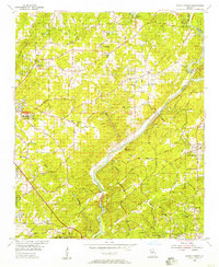
1956 Map of Roswell
USGS Topo · Published 1957About this map
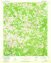
Roswell and Alpharetta anchor this mid-century survey of northern Fulton County, showing a landscape of small crossroads and rural institutions before the era of intensive suburbanization. The map identifies numerous community centers such as Crabapple, Warsaw, and Newtown, alongside essential gathering places like Lebanon Ch and Providence Ch. A distinct network of agricultural roads, including Alabama Road and Freemanville Road, connects these settlements across the undulating terrain between Little River and the Chattahoochee River.
Find a feature on this map
89 named features on this map. Tap any name to fly to it.
Don’t see what you’re looking for? This feature index may not catch every label — zoom into the map to look around manually.
Map Details
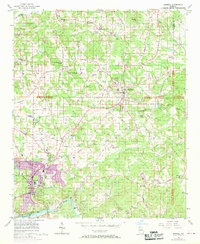
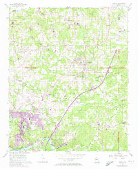
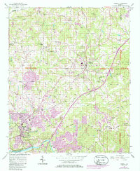
Editions of this 1956 Roswell Map
5 editions found
Other maps of this area

1888 · Atlanta
USGS Topo · 1:125,000

1890 · Suwanee
USGS Topo · 1:125,000

1890 · Atlanta
USGS Topo · 1:125,000

1892 · Atlanta
USGS Topo · 1:125,000

1894 · Suwanee
USGS Topo · 1:125,000

1895 · Atlanta
USGS Topo · 1:125,000

1953 · Atlanta
USGS Topo · 1:250,000

1954 · Chamblee
USGS Topo · 1:24,000

1955 · Rome
USGS Topo · 1:250,000
1955 · Sandy Springs
USGS Topo · 1:24,000