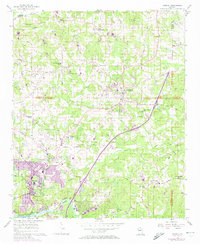
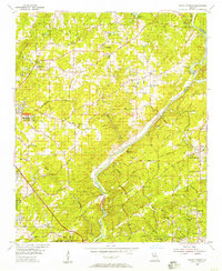
1956 Map of Roswell
USGS Topo · Published 1974About this map
Roswell and Alpharetta anchor this mid-century look at northern Georgia, where the transition from a rural agricultural past to suburban development is visibly underway. The map documents an extensive network of country roads named for local families and destinations, including Rucker Road, Hembree Road, and Nesbit Ferry Road, many of which follow the natural drainage patterns of Big Creek and Killer Creek. Cultural life is marked by numerous rural sanctuaries such as Providence Ch and Mt Pisgah Ch, alongside the Bailey-Johnson Sch and the County Prison Camp near the heart of Alpharetta.
Find a feature on this map
72 named features on this map. Tap any name to fly to it.
Don’t see what you’re looking for? This feature index may not catch every label — zoom into the map to look around manually.
Map Details
Editions of this 1956 Roswell Map
5 editions found

Other maps of this area

1888 · Atlanta
USGS Topo · 1:125,000

1890 · Suwanee
USGS Topo · 1:125,000

1890 · Atlanta
USGS Topo · 1:125,000

1892 · Atlanta
USGS Topo · 1:125,000

1894 · Suwanee
USGS Topo · 1:125,000

1895 · Atlanta
USGS Topo · 1:125,000

1953 · Atlanta
USGS Topo · 1:250,000

1954 · Chamblee
USGS Topo · 1:24,000

1955 · Rome
USGS Topo · 1:250,000
1955 · Sandy Springs
USGS Topo · 1:24,000