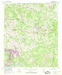
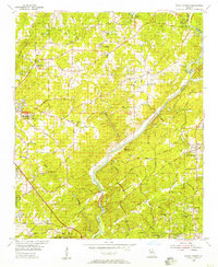
1956 Map of Roswell
USGS Topo · Published 1969About this map
The Chattahoochee River forms the southern boundary of this North Georgia survey, anchoring a landscape where rural crossroads were beginning to yield to suburban growth. Settlements like Crabapple, Newtown, and the community of Fields Crossroads are mapped alongside significant landmarks including the County Prison Camp and a Drive-in Theater near Alpharetta. The presence of the Copper Mine in the northwest and a Rock Quarry near Big Creek points to the area's extractive history, while the network of named roads like Providence Road and Alabama Road indicates the primary corridors of local commerce.
Find a feature on this map
111 named features on this map. Tap any name to fly to it.
Don’t see what you’re looking for? This feature index may not catch every label — zoom into the map to look around manually.
Map Details
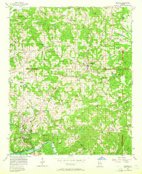
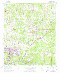
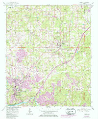
Editions of this 1956 Roswell Map
5 editions found

Other maps of this area

1888 · Atlanta
USGS Topo · 1:125,000

1890 · Suwanee
USGS Topo · 1:125,000

1890 · Atlanta
USGS Topo · 1:125,000

1892 · Atlanta
USGS Topo · 1:125,000

1894 · Suwanee
USGS Topo · 1:125,000

1895 · Atlanta
USGS Topo · 1:125,000

1953 · Atlanta
USGS Topo · 1:250,000

1954 · Chamblee
USGS Topo · 1:24,000

1955 · Rome
USGS Topo · 1:250,000
1955 · Sandy Springs
USGS Topo · 1:24,000