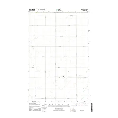
2014 Map of Roth
USGS Topo · Published 2014About this map
Roth sits at the heart of this high-plains landscape in Bottineau County, where the section-line grid of the North Dakota prairie meets the international boundary with Canada. This 2014 survey illustrates a region defined by agricultural organization, with a network of rural routes such as CR-6, CR-33, and CR-27a providing the primary infrastructure for the scattered farmsteads. The land is punctuated by numerous small prairie potholes and seasonal wetlands, typical of the drift prairie topography. In the southeastern corner, the meandering path of Boundary Creek (also labeled as Boundary Cr) cuts across the rectangular grid, offering a rare natural deviation from the rigid surveyor's lines that otherwise dominate the borderlands of the United States.
Find a feature on this map
23 named features on this map. Tap any name to fly to it.
Don’t see what you’re looking for? This feature index may not catch every label — zoom into the map to look around manually.
Map Details
Editions of this 2014 Roth Map
This is the sole edition of this map. No revisions or reprints were ever made.
Other maps of this area

1949 · Landa
USGS Topo · 1:24,000

1949 · Landa SW
USGS Topo · 1:24,000

1950 · Landa
USGS Topo · 1:24,000

1950 · Landa SW
USGS Topo · 1:24,000

1954 · Souris SW
USGS Topo · 1:24,000

1954 · Landa SE
USGS Topo · 1:24,000

1954 · Souris
USGS Topo · 1:24,000

1954 · Roth
USGS Topo · 1:24,000

1954 · Minot
USGS Topo · 1:250,000

1958 · Minot
USGS Topo · 1:250,000