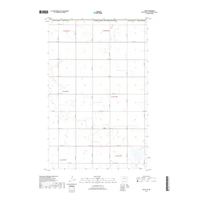
2017 Map of Roth
USGS Topo · Published 2017About this map
Roth serves as the primary point of interest in this section of the northern Great Plains, situated just south of the international border. The landscape is defined by the rigid grid of the Public Land Survey System, with the boundary between United States of America/Canada forming the northern edge of the map. This area of Bottineau County is characterized by its agricultural layout, where section lines are marked by a network of gravel and local roads such as Co Rd 27A and 103rd St NW. In the southeast, the meandering path of Boundary Creek provides a natural break in the otherwise geometric prairie, highlighting the subtle drainage patterns that influence local land use. This survey captures the persistent rural character of the region, where tiny settlements like Roth remain anchored to the crossroads of the North Dakota wheat belt.
Find a feature on this map
26 named features on this map. Tap any name to fly to it.
Don’t see what you’re looking for? This feature index may not catch every label — zoom into the map to look around manually.
Map Details
Editions of this 2017 Roth Map
This is the sole edition of this map. No revisions or reprints were ever made.
Other maps of this area

1949 · Landa
USGS Topo · 1:24,000

1949 · Landa SW
USGS Topo · 1:24,000

1950 · Landa
USGS Topo · 1:24,000

1950 · Landa SW
USGS Topo · 1:24,000

1954 · Souris SW
USGS Topo · 1:24,000

1954 · Landa SE
USGS Topo · 1:24,000

1954 · Souris
USGS Topo · 1:24,000

1954 · Roth
USGS Topo · 1:24,000

1954 · Minot
USGS Topo · 1:250,000

1958 · Minot
USGS Topo · 1:250,000