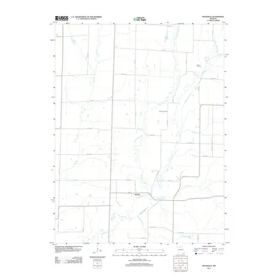
2012 Map of Rothville
USGS Topo · Published 2012About this map
Rothville serves as the primary settlement in this part of Chariton County, situated at a junction where the landscape is defined by the winding paths of Yellow Creek and its various tributaries. The town is surrounded by a network of drainage systems, including Slater Branch to the east and White Oak Branch to the south, illustrating the importance of these waterways to the local topography and historical agricultural layout.
Find a feature on this map
42 named features on this map. Tap any name to fly to it.
Don’t see what you’re looking for? This feature index may not catch every label — zoom into the map to look around manually.
Map Details
Editions of this 2012 Rothville Map
This is the sole edition of this map. No revisions or reprints were ever made.
Other maps of this area

1946 · Brookfield
USGS Topo · 1:62,500

1948 · Brookfield
USGS Topo · 1:62,500

1949 · Mendon
USGS Topo · 1:24,000

1949 · Indian Grove
USGS Topo · 1:24,000

1949 · Sumner
USGS Topo · 1:24,000

1949 · Rothville
USGS Topo · 1:24,000

1949 · Bucklin
USGS Topo · 1:24,000

1950 · Bucklin
USGS Topo · 1:24,000

1950 · Sumner
USGS Topo · 1:24,000

1950 · Rothville
USGS Topo · 1:24,000