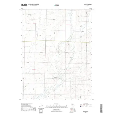
2017 Map of Rothville
USGS Topo · Published 2017About this map
Rothville serves as the primary settlement in this part of north-central Missouri, situated near the convergence of several significant watercourses. The landscape is defined by the winding paths of W Yellow Cr and E Yellow Cr, which join to form Yellow Cr south of the village. This drainage system creates a network of creek-bottom wetlands and timbered draws that contrast with the organized grid of the surrounding agricultural uplands.
Find a feature on this map
55 named features on this map. Tap any name to fly to it.
Don’t see what you’re looking for? This feature index may not catch every label — zoom into the map to look around manually.
Map Details
Editions of this 2017 Rothville Map
This is the sole edition of this map. No revisions or reprints were ever made.
Other maps of this area

1946 · Brookfield
USGS Topo · 1:62,500

1948 · Brookfield
USGS Topo · 1:62,500

1949 · Mendon
USGS Topo · 1:24,000

1949 · Indian Grove
USGS Topo · 1:24,000

1949 · Sumner
USGS Topo · 1:24,000

1949 · Rothville
USGS Topo · 1:24,000

1949 · Bucklin
USGS Topo · 1:24,000

1950 · Bucklin
USGS Topo · 1:24,000

1950 · Sumner
USGS Topo · 1:24,000

1950 · Rothville
USGS Topo · 1:24,000