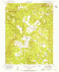
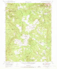
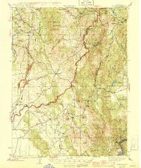
1949 Map of Rough And Ready
USGS Topo · Published 1955About this map
Rough and Ready serves as the focal point of this Gold Country landscape, situated among complex water systems and historic mining claims. The map reveals the intricate network of ditches and flumes required for hydraulic mining, connecting features like the Rough and Ready Res to the local creek system. Further south, the expansive Camp Beale Military Reservation dominates the terrain, marking the era of post-war military presence in the foothills.
Find a feature on this map
34 named features on this map. Tap any name to fly to it.
Don’t see what you’re looking for? This feature index may not catch every label — zoom into the map to look around manually.
Map Details
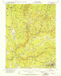
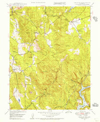
Editions of this 1949 Rough And Ready Map
3 editions found

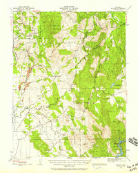
Other maps of this area

1888 · Smartsville
USGS Topo · 1:125,000

1891 · Smartsville
USGS Topo · 1:125,000

1892 · Smartsville
USGS Topo · 1:125,000

1894 · Smartsville
USGS Topo · 1:125,000

1895 · Smartsville
USGS Topo · 1:125,000
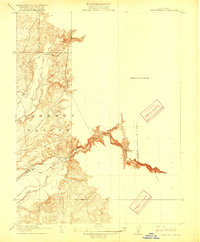
1915 · Spenceville
USGS Topo · 1:31,680
1941 · Bangor
USGS Topo · 1:62,500
1944 · Bangor
USGS Topo · 1:62,500
1948 · Nevada City
USGS Topo · 1:62,500
1948 · Oregon House
USGS Topo · 1:24,000