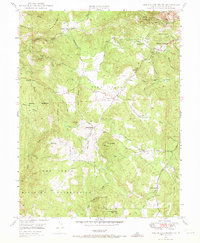
1949 Map of Rough And Ready
USGS Topo · Published 1973About this map
Gold mining heritage and military expansion converge in this survey of the Sierra Nevada foothills. The landscape is defined by its industrial waterworks, where the Rough and Ready Res feeds a network of ditches and siphons across Penn Valley and the surrounding ridges. Legacy quartz mining is evident at the Kentucky Mine and Niagara Mine on Kentucky Ridge, as well as the Mistletoe Mine near the settlement of Rough and Ready.
Find a feature on this map
39 named features on this map. Tap any name to fly to it.
Don’t see what you’re looking for? This feature index may not catch every label — zoom into the map to look around manually.
Map Details
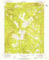
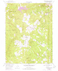
Editions of this 1949 Rough And Ready Map
3 editions found
Other maps of this area

1888 · Smartsville
USGS Topo · 1:125,000

1891 · Smartsville
USGS Topo · 1:125,000

1892 · Smartsville
USGS Topo · 1:125,000

1894 · Smartsville
USGS Topo · 1:125,000

1895 · Smartsville
USGS Topo · 1:125,000

1915 · Spenceville
USGS Topo · 1:31,680

1941 · Bangor
USGS Topo · 1:62,500

1944 · Bangor
USGS Topo · 1:62,500

1948 · Nevada City
USGS Topo · 1:62,500
1948 · Oregon House
USGS Topo · 1:24,000