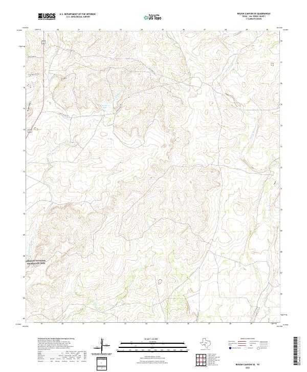
2022 Map of Rough Canyon SE
USGS Topo · Published 2022About this map
Amistad National Recreation Area defines the southwestern corner of this West Texas landscape, where the arid canyonlands meet the upper reaches of the reservoir system. The terrain is dominated by a network of drainage systems, including Sycamore Creek and the multiple branches of San Pedro Cr, which carve through the plateau. Small impoundments like Moody Lake provide rare focal points for water management in this sparsely populated region.
Find a feature on this map
13 named features on this map. Tap any name to fly to it.
Don’t see what you’re looking for? This feature index may not catch every label — zoom into the map to look around manually.
Map Details
Editions of this 2022 Rough Canyon SE Map
This is the sole edition of this map. No revisions or reprints were ever made.
Other maps of this area

1941 · Standart
USGS Topo · 1:62,500

1943 · Standart
USGS Topo · 1:62,500

1943 · Del Rio
USGS Topo · 1:62,500

1944 · Flat Rock
USGS Topo · 1:62,500

1944 · Devils Lake
USGS Topo · 1:62,500

1958 · Del Rio
USGS Topo · 1:250,000

1964 · Del Rio
USGS Topo · 1:250,000

1972 · Miers Ranch
USGS Topo · 1:24,000

1972 · Rough Canyon SE
USGS Topo · 1:24,000
1972 · Del Rio NW
USGS Topo · 1:24,000