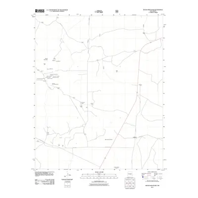
2011 Map of Rough Mountain
USGS Topo · Published 2011About this map
The mining history of Rough Mountain is etched across this portion of Lincoln County, where numerous prospects and claims once extracted mineral wealth. A dense cluster of operations near Eagle Nest and Hilltop includes the Red Cloud Mine, Corona Queen Mine, and Old Hickory Mine, alongside more specialized workings like the Gallinas Rare Earth Deposits. These sites suggest a landscape shaped by intensive exploration, with dozens of named claims such as the Buckhorn and Deadwood scattered throughout the foothills.
Find a feature on this map
41 named features on this map. Tap any name to fly to it.
Don’t see what you’re looking for? This feature index may not catch every label — zoom into the map to look around manually.
Map Details
Editions of this 2011 Rough Mountain Map
This is the sole edition of this map. No revisions or reprints were ever made.
Other maps of this area

1954 · Fort Sumner
USGS Topo · 1:250,000

1958 · Fort Sumner
USGS Topo · 1:250,000

1980 · Corona
USGS Topo · 1:100,000

1981 · Rough Mountain
USGS Topo · 1:24,000
1981 · Pajaro Canyon
USGS Topo · 1:24,000
1981 · Tecolote Peak
USGS Topo · 1:24,000
1981 · Pelon Hill
USGS Topo · 1:24,000
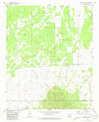
1981 · Progresso SE
USGS Topo · 1:24,000

1981 · Corona South
USGS Topo · 1:24,000
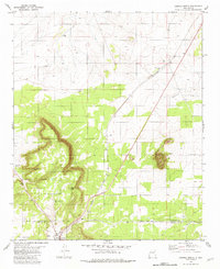
1981 · Corona North
USGS Topo · 1:24,000