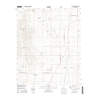
2013 Map of Rough Mountain
USGS Topo · Published 2013About this map
The settlement of Gallinas and its surrounding ranchlands anchor this high-desert landscape within the Cibola National Forest. The map reveals a land defined by water scarcity and cattle ranching, marked by numerous family names such as the Bagley Ranch, Granans Ranch, and Erramouspe Ranch. The reliance on artificial water sources is evident through the high density of labeled water tanks across the quadrangle, including the Pine Hill Trick Tank, South Mountain Trick Tank, and Stroope Tank. These features represent the essential infrastructure for livestock management in the arid terrain between Rough Mtn and the Largo Canyon drainage. Transport through the region is centered on the corridor of Us-54, which parallels the Cibola National Forest boundary, connecting the sparse ranching outposts like Hodges Ranch and Herring Ranch to the broader New Mexico road network.
Find a feature on this map
43 named features on this map. Tap any name to fly to it.
Don’t see what you’re looking for? This feature index may not catch every label — zoom into the map to look around manually.
Map Details
Editions of this 2013 Rough Mountain Map
This is the sole edition of this map. No revisions or reprints were ever made.
Other maps of this area

1954 · Fort Sumner
USGS Topo · 1:250,000

1958 · Fort Sumner
USGS Topo · 1:250,000

1980 · Corona
USGS Topo · 1:100,000

1981 · Rough Mountain
USGS Topo · 1:24,000
1981 · Pajaro Canyon
USGS Topo · 1:24,000
1981 · Tecolote Peak
USGS Topo · 1:24,000
1981 · Pelon Hill
USGS Topo · 1:24,000
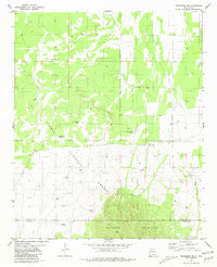
1981 · Progresso SE
USGS Topo · 1:24,000

1981 · Corona South
USGS Topo · 1:24,000
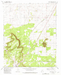
1981 · Corona North
USGS Topo · 1:24,000