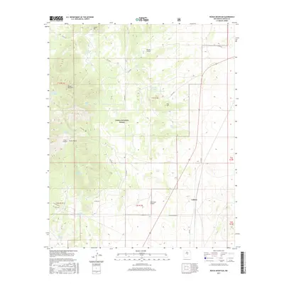
2017 Map of Rough Mountain
USGS Topo · Published 2017About this map
Cibola National Forest encompasses the high desert terrain of this central New Mexico landscape, dominated by prominent elevations such as Rough Mountain and Cougar Mtn. The small settlement of Gallinas serves as a primary point of human activity, situated near the intersection of several local routes including Gallinas Station Rd and Elda Rd. The region is defined by its arid geography, where water management is critical for land use, evidenced by the numerous named catchments like Stroope Tank, Porter Tank, and Bates Tank scattered across the township lines of T1S and T2S. Deep drainages such as Bonita Canyon and Largo Canyon cut through the forest, while infrastructure like the Gas Pipeline Rd indicates industrial utility in this otherwise rural expanse of Lincoln County.
Find a feature on this map
37 named features on this map. Tap any name to fly to it.
Don’t see what you’re looking for? This feature index may not catch every label — zoom into the map to look around manually.
Map Details
Editions of this 2017 Rough Mountain Map
This is the sole edition of this map. No revisions or reprints were ever made.
Other maps of this area

1954 · Fort Sumner
USGS Topo · 1:250,000

1958 · Fort Sumner
USGS Topo · 1:250,000

1980 · Corona
USGS Topo · 1:100,000

1981 · Rough Mountain
USGS Topo · 1:24,000
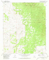
1981 · Pajaro Canyon
USGS Topo · 1:24,000
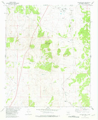
1981 · Tecolote Peak
USGS Topo · 1:24,000
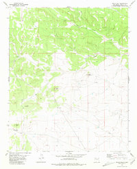
1981 · Pelon Hill
USGS Topo · 1:24,000
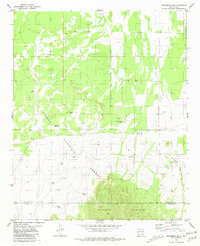
1981 · Progresso SE
USGS Topo · 1:24,000

1981 · Corona South
USGS Topo · 1:24,000
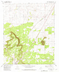
1981 · Corona North
USGS Topo · 1:24,000