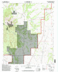
1995 Map of Rough Mountain
USGS Topo · Published 1998About this map
Cibola National Forest land dominates this high-altitude landscape in Lincoln County, where the terrain is defined by the steep slopes of Rough Mountain and Cougar Mountain. This 1995 revision reveals a rugged topography managed for both natural resources and livestock, punctuated by several established cattle operations including Bagley Ranch, Erramouspe Ranch, and Herring Ranch. The presence of several historic extraction sites, such as the Corona Queen Mine and the Conqueror Mine, points to the region's mineral history. Water management is critical in this environment, evidenced by a dense network of specialized structures like the South Mountain Trick Tank, South Saddle Trick Tank, and El Paso Wells. The settlement at Gallinas and a lonely Cemetery near the center of the sheet provide localized points of interest for genealogists tracing families associated with these remote high-desert outposts.
Find a feature on this map
41 named features on this map. Tap any name to fly to it.
Don’t see what you’re looking for? This feature index may not catch every label — zoom into the map to look around manually.
Map Details
Editions of this 1995 Rough Mountain Map
This is the sole edition of this map. No revisions or reprints were ever made.
Other maps of this area

1954 · Fort Sumner
USGS Topo · 1:250,000

1958 · Fort Sumner
USGS Topo · 1:250,000

1980 · Corona
USGS Topo · 1:100,000

1981 · Rough Mountain
USGS Topo · 1:24,000
1981 · Pajaro Canyon
USGS Topo · 1:24,000
1981 · Tecolote Peak
USGS Topo · 1:24,000
1981 · Pelon Hill
USGS Topo · 1:24,000
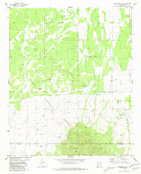
1981 · Progresso SE
USGS Topo · 1:24,000

1981 · Corona South
USGS Topo · 1:24,000
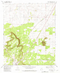
1981 · Corona North
USGS Topo · 1:24,000