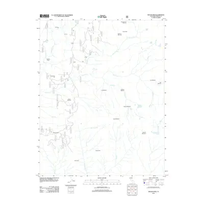
2012 Map of Rough Spur
USGS Topo · Published 2012About this map
Cliff Camp stands as the primary outpost in this high-altitude landscape within the Sierra National Forest. Situated near the N Fork Kings River, the area is defined by a dense network of seasonal drainages and meadow systems that dictate the movement of early 21st-century travelers. The topography transitions from the dramatic Granite Gorge in the northwest to the prominent heights of Spanish Mountain in the southeast.
Find a feature on this map
37 named features on this map. Tap any name to fly to it.
Don’t see what you’re looking for? This feature index may not catch every label — zoom into the map to look around manually.
Map Details
Editions of this 2012 Rough Spur Map
This is the sole edition of this map. No revisions or reprints were ever made.
Other maps of this area

1903 · Tehipite
USGS Topo · 1:125,000

1904 · Kaiser
USGS Topo · 1:125,000

1905 · Tehipite
USGS Topo · 1:125,000

1912 · Mt. Goddard
USGS Topo · 1:125,000

1922 · Trimmer
USGS Topo · 1:96,000

1924 · Dinuba
USGS Topo · 1:125,000

1947 · Mariposa
USGS Topo · 1:250,000

1948 · Fresno
USGS Topo · 1:250,000

1948 · Mariposa
USGS Topo · 1:250,000

1952 · Tehipite Dome
USGS Topo · 1:62,500