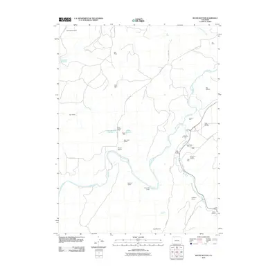
2010 Map of Round Bottom
USGS Topo · Published 2010About this map
The Yampa River carves a deep path through this portion of Moffat County, defining a landscape of high mesas and drainage basins where industrial extraction and ranching intersect. This 2010 survey highlights a significant concentration of coal mining activity along the eastern edge of the quadrangle, particularly where the Williams Fork meets the main river valley. Numerous named operations, including the Wise Hill Mine Number Five and the Eagle Number Nine Mine, illustrate the scale of energy development in the region during the early 21st century.
Find a feature on this map
37 named features on this map. Tap any name to fly to it.
Don’t see what you’re looking for? This feature index may not catch every label — zoom into the map to look around manually.
Map Details
Editions of this 2010 Round Bottom Map
This is the sole edition of this map. No revisions or reprints were ever made.
Other maps of this area

1910 · Danforth Hills
USGS Topo · 1:125,000

1912 · Axial
USGS Topo · 1:62,500

1914 · Axial
USGS Topo · 1:62,500

1915 · Monument Butte
USGS Topo · 1:62,500

1916 · Craig
USGS Topo · 1:125,000

1954 · Craig
USGS Topo · 1:250,000

1957 · Craig
USGS Topo · 1:250,000

1958 · Craig
USGS Topo · 1:250,000

1960 · Craig
USGS Topo · 1:250,000

1962 · Craig
USGS Topo · 1:250,000