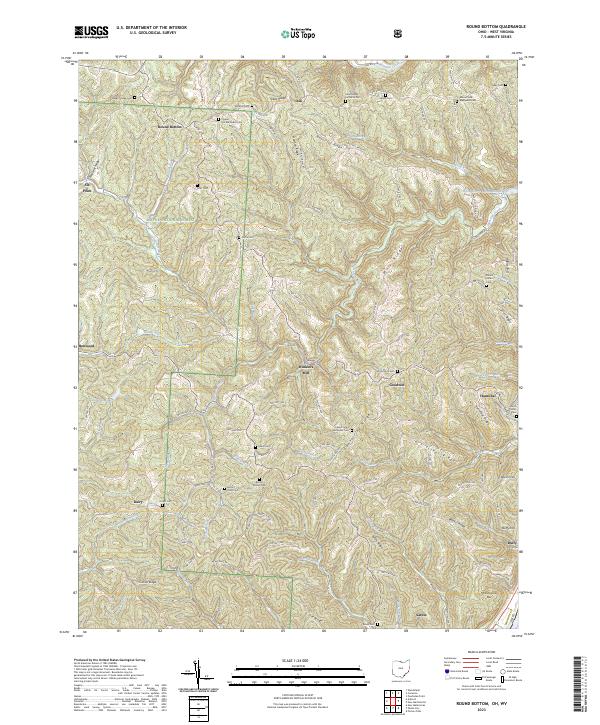
2023 Map of Round Bottom
USGS Topo · Published 2023About this map
Winklers Mill sits at the heart of this Monroe County landscape, where the deeply dissected plateau of eastern Ohio meets the Ohio River valley. The terrain is defined by a dense network of ridges such as Sykes Ridge, Beautiful Ridge, and Mule Ridge, which separate the winding runs that drain toward the river. This 2023 survey documents a rural topography where historic cemeteries like Mount Sinai Methodist Cem and Emma Grove Cem remain as focal points for local genealogy. The western portion of the map includes sections of the Wayne National Forest, emphasizing the transition from private agricultural holdings to protected timberlands. Along the river, settlements like Hannibal, Duffy, and Sardis anchor the lowlands, while upland hamlets such as Dairy and Round Bottom are connected by a web of township roads that follow the contours of the high ground.
Find a feature on this map
118 named features on this map. Tap any name to fly to it.
Don’t see what you’re looking for? This feature index may not catch every label — zoom into the map to look around manually.
Map Details
Editions of this 2023 Round Bottom Map
This is the sole edition of this map. No revisions or reprints were ever made.
Other maps of this area

1905 · Clarington
USGS Topo · 1:62,500

1905 · New Matamoras
USGS Topo · 1:62,500

1905 · Woodsfield
USGS Topo · 1:62,500

1906 · New Martinsville
USGS Topo · 1:62,500

1924 · New Martinsville
USGS Topo · 1:62,500

1924 · New Matamoras
USGS Topo · 1:62,500

1926 · New Martinsville
USGS Topo · 1:62,500

1926 · New Matamoras
USGS Topo · 1:62,500

1935 · Clarington
USGS Topo · 1:62,500

1940 · Clarington
USGS Topo · 1:62,500