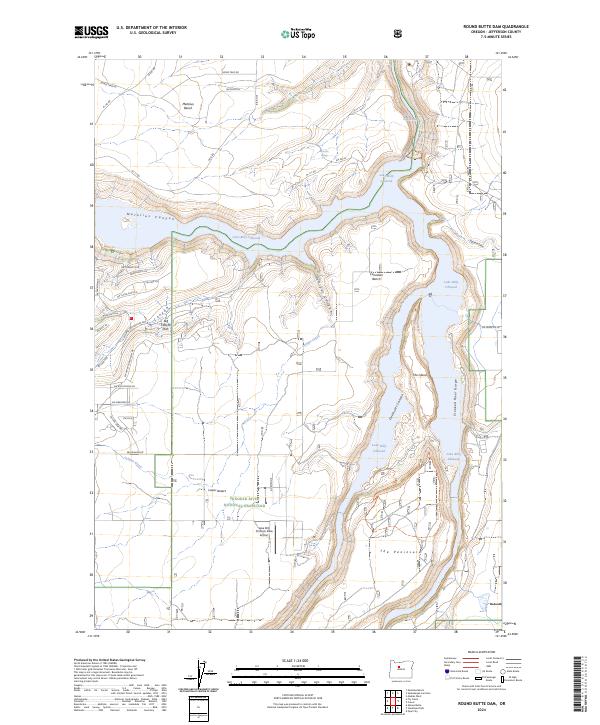
2024 Map of Round Butte Dam
USGS Topo · Published 2024About this map
Lake Simtustus occupies a critical portion of the Deschutes River drainage, as documented in this contemporary 2024 topographic study. This reservoir, created by the Pelton Dam, sits just downstream from the confluence of the Crooked, Deschutes, and Metolius rivers. The geography here is defined by dramatic canyon walls and high desert plateaus typical of Jefferson County, Oregon. While the map is a modern 2024 edition, it serves as a precise record of the current shoreline and the controlled water levels of this significant hydroelectric and recreational impoundment. Historians and researchers can use this data to understand the modern management of the central Oregon river systems and the resulting landscape changes since the early twentieth-century damming projects.
Find a feature on this map
1 named feature on this map. Tap any name to fly to it.
Don’t see what you’re looking for? This feature index may not catch every label — zoom into the map to look around manually.
Map Details
Editions of this 2024 Round Butte Dam Map
This is the sole edition of this map. No revisions or reprints were ever made.
Other maps of this area

1926 · Bend
USGS Topo · 1:125,000

1928 · Madras
USGS Topo · 1:125,000

1929 · Bend
USGS Topo · 1:125,000

1931 · Madras
USGS Topo · 1:125,000

1955 · Bend
USGS Topo · 1:250,000

1957 · Bend
USGS Topo · 1:250,000

1958 · Bend
USGS Topo · 1:250,000

1962 · Metolius Bench
USGS Topo · 1:24,000

1962 · Opal City
USGS Topo · 1:24,000

1962 · Fly Creek
USGS Topo · 1:24,000