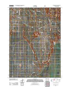
2011 Map of Round Butte
USGS Topo · Published 2011About this map
Round Butte and String Butte dominate this section of Klamath County, where high-altitude water sources like Willow Spring and Log Spring define the geography. The 2011 landscape is heavily marked by a complex network of forest development roads, including the Nat For Dev Rd 8610 and the prominent Round Butte Lookout Rd, reflecting the area's history of timber management and fire surveillance. This survey shows the infrastructure of the Winema National Forest, where the Chiloquin Camp Rd provides access to the higher elevations of Three Creek Ridge. While mostly unsettled forest land, the map records the Lane Ranch near Lane Creek, a rare named homestead in a region primarily used for resource management and backcountry transit via routes like County Hwy 1266.
Find a feature on this map
22 named features on this map. Tap any name to fly to it.
Don’t see what you’re looking for? This feature index may not catch every label — zoom into the map to look around manually.
Map Details
Editions of this 2011 Round Butte Map
This is the sole edition of this map. No revisions or reprints were ever made.
Other maps of this area

1889 · Klamath
USGS Topo · 1:250,000

1894 · Klamath
USGS Topo · 1:250,000

1935 · Chemult
USGS Topo · 1:96,000

1941 · Chemult
USGS Topo · 1:125,000

1955 · Crescent
USGS Topo · 1:250,000

1955 · Klamath Falls
USGS Topo · 1:250,000

1957 · Crescent
USGS Topo · 1:250,000

1957 · Klamath Marsh
USGS Topo · 1:62,500

1957 · Lenz
USGS Topo · 1:62,500

1958 · Crescent
USGS Topo · 1:250,000