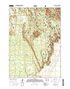
2017 Map of Round Butte
USGS Topo · Published 2017About this map
Winema National Forest and the Klamath Marsh National Wildlife Refuge define this section of south-central Oregon, where timbered volcanic uplands meet expansive wetlands. The terrain is anchored by prominent landmarks such as Round Butte and String Butte, with the higher ground of Three Creek Ridge overlooking the eastern marshes. This landscape is a complex of hydrologic features, including named water sources like Willow Spring, Log Spring, and Tank Spring, which historically supported movement through the forest.
Find a feature on this map
32 named features on this map. Tap any name to fly to it.
Don’t see what you’re looking for? This feature index may not catch every label — zoom into the map to look around manually.
Map Details
Editions of this 2017 Round Butte Map
This is the sole edition of this map. No revisions or reprints were ever made.
Other maps of this area

1889 · Klamath
USGS Topo · 1:250,000

1894 · Klamath
USGS Topo · 1:250,000

1935 · Chemult
USGS Topo · 1:96,000

1941 · Chemult
USGS Topo · 1:125,000

1955 · Crescent
USGS Topo · 1:250,000

1955 · Klamath Falls
USGS Topo · 1:250,000

1957 · Crescent
USGS Topo · 1:250,000

1957 · Klamath Marsh
USGS Topo · 1:62,500

1957 · Lenz
USGS Topo · 1:62,500

1958 · Crescent
USGS Topo · 1:250,000