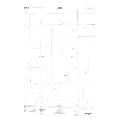
2013 Map of Round Grove
USGS Topo · Published 2013About this map
Round Grove anchors this rural landscape in White County, Indiana, where a complex network of agricultural waterways defines the terrain. The drainage of the prairie is evident through numerous named channels such as Roudebush Ditch, Vanatta Ditch, and Rayman Ditch, which feed into larger systems like Little Pine Cr and Big Pine Cr. This 2013 survey illustrates the modern agricultural grid, dominated by long straight roads and sectional boundaries that have persisted for generations. In a region primarily dedicated to farming, the presence of two private aviation facilities, Durflinger Airport and Sutton Airport, stands out as a unique modern characteristic. To the south, the terrain begins to slope toward the drainage of Otterbein Ditch and Marshall Ditch, showcasing the engineering required to manage the water table in this productive corner of the Midwest.
Find a feature on this map
33 named features on this map. Tap any name to fly to it.
Don’t see what you’re looking for? This feature index may not catch every label — zoom into the map to look around manually.
Map Details
Editions of this 2013 Round Grove Map
This is the sole edition of this map. No revisions or reprints were ever made.
Other maps of this area

1941 · Lafayette
USGS Topo · 1:24,000

1942 · Otterbein
USGS Topo · 1:24,000

1942 · Lafayette
USGS Topo · 1:24,000

1950 · Lafayette
USGS Topo · 1:24,000

1951 · Otterbein
USGS Topo · 1:24,000

1953 · Danville
USGS Topo · 1:250,000

1955 · Danville
USGS Topo · 1:250,000

1956 · Danville
USGS Topo · 1:250,000

1961 · Chatterton
USGS Topo · 1:24,000

1961 · Otterbein
USGS Topo · 1:24,000