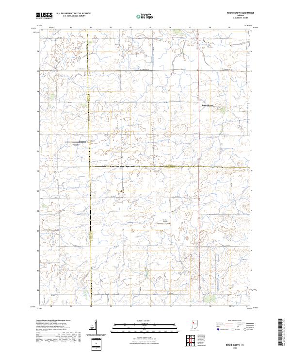
2022 Map of Round Grove
USGS Topo · Published 2022About this map
Round Grove sits at the heart of this agricultural landscape along the intersection of White, Benton, and Tippecanoe counties. The terrain is defined by a dense network of drainage channels designed to manage the fertile prairie soil, including Roudebush Ditch and Rayman Ditch, which feed into larger watercourses like Big Pine Cr and Little Pine Cr. This area demonstrates the long-standing reliance on systematic tiling and ditching to sustain heavy cultivation. Small private aviation hubs, such as Durftinger Airport and Sutton Airport, appear as isolated landmarks among the vast grid of rural roads and section lines. The map also traces the southern reaches of the territory where Otterbein Ditch and Burnett Cr begin to carve more distinct paths through the Indiana countryside.
Find a feature on this map
43 named features on this map. Tap any name to fly to it.
Don’t see what you’re looking for? This feature index may not catch every label — zoom into the map to look around manually.
Map Details
Editions of this 2022 Round Grove Map
This is the sole edition of this map. No revisions or reprints were ever made.
Other maps of this area

1941 · Lafayette
USGS Topo · 1:24,000

1942 · Otterbein
USGS Topo · 1:24,000

1942 · Lafayette
USGS Topo · 1:24,000

1950 · Lafayette
USGS Topo · 1:24,000

1951 · Otterbein
USGS Topo · 1:24,000

1953 · Danville
USGS Topo · 1:250,000

1955 · Danville
USGS Topo · 1:250,000

1956 · Danville
USGS Topo · 1:250,000

1961 · Chatterton
USGS Topo · 1:24,000

1961 · Otterbein
USGS Topo · 1:24,000