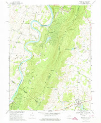
1970 Map of Round Hill
USGS Topo · Published 1974About this map
The Shenandoah River snakes through the western portion of this 1970 quadrangle, defining the boundary between the agricultural lowlands of Kabletown and the high ridge of the Blue Ridge. The landscape is bisected by the state line between West Virginia and Virginia, where the rugged terrain of Sunny Ridge gives way to the burgeoning town of Round Hill and the rural crossroads of Eubanks. The prominence of the Appalachian Trail along the crest of the ridge highlights the region's recreational character, while the presence of the Birch Hollow Airfield and several reservoirs like the Purcellville Reservoir signal the infrastructure of the late 20th century. Local heritage is preserved in the cluster of historic sites near the river, including the Kabletown Sch and the Ketoctin Cem, which serve as anchors for the small settlements of Meyerstown and Shannondale during this era of quiet growth.
Find a feature on this map
54 named features on this map. Tap any name to fly to it.
Don’t see what you’re looking for? This feature index may not catch every label — zoom into the map to look around manually.
Map Details
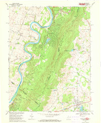
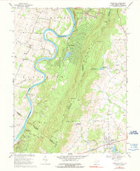
Editions of this 1970 Round Hill Map
3 editions found
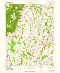
Other maps of this area

1884 · Harpers Ferry
USGS Topo · 1:125,000

1891 · Harpers Ferry
USGS Topo · 1:125,000

1893 · Harpers Ferry
USGS Topo · 1:125,000

1908 · Middletown
USGS Topo · 1:48,000

1910 · Antietam
USGS Topo · 1:62,500

1914 · Martinsburg
USGS Topo · 1:48,000

1916 · Martinsburg
USGS Topo · 1:62,500

1916 · Berryville
USGS Topo · 1:62,500

1939 · Berryville
USGS Topo · 1:48,000
1943 · Bluemont
USGS Topo · 1:24,000