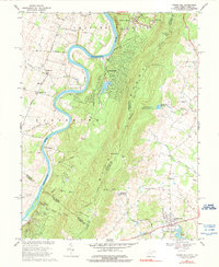
1970 Map of Round Hill
USGS Topo · Published 1990About this map
The Shenandoah River snakes through the western portion of this terrain, defining the dramatic Avon Bend before cutting north toward the Potomac. Along the river's eastern bank, the Blue Ridge rises sharply, serving as the state line between West Virginia and Virginia. This boundary separates the low-lying agricultural lands of Jefferson County from the higher elevations and developing residential outskirts of Loudoun County.
Find a feature on this map
50 named features on this map. Tap any name to fly to it.
Don’t see what you’re looking for? This feature index may not catch every label — zoom into the map to look around manually.
Map Details
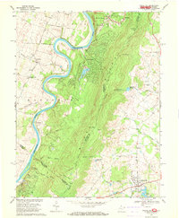
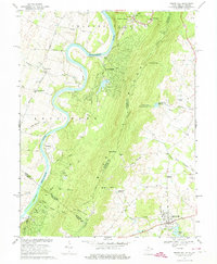
Editions of this 1970 Round Hill Map
3 editions found
Other maps of this area

1884 · Harpers Ferry
USGS Topo · 1:125,000

1891 · Harpers Ferry
USGS Topo · 1:125,000

1893 · Harpers Ferry
USGS Topo · 1:125,000

1908 · Middletown
USGS Topo · 1:48,000

1910 · Antietam
USGS Topo · 1:62,500

1914 · Martinsburg
USGS Topo · 1:48,000

1916 · Martinsburg
USGS Topo · 1:62,500

1916 · Berryville
USGS Topo · 1:62,500

1939 · Berryville
USGS Topo · 1:48,000

1943 · Bluemont
USGS Topo · 1:24,000