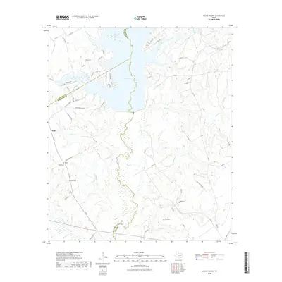
2019 Map of Round Prairie
USGS Topo · Published 2019About this map
Lake Limestone dominates the northern landscape of this region where Leon, Limestone, and Robertson Counties meet. The terrain is defined by a dense network of tributaries including Dogwood Cr, Birch Cr, and Mill Cr that feed into the larger basin. Rural life is anchored by small settlements like Seale and Round Prairie, with a notable concentration of family and community burial grounds reflecting the deep lineage of these East Texas crossroads. Genealogists will find several well-documented sites such as McKenzie Cem, Sansom Cemetery, and the Seale-Round Prairie Cem. The road network, including FM 937 and numerous county roads like Sansom Cemetery Rd, connects these scattered homesteads and water access points like Stacey Landing Rd.
Find a feature on this map
76 named features on this map. Tap any name to fly to it.
Don’t see what you’re looking for? This feature index may not catch every label — zoom into the map to look around manually.
Map Details
Editions of this 2019 Round Prairie Map
This is the sole edition of this map. No revisions or reprints were ever made.
Other maps of this area

1925 · Marquez No. 1
USGS Topo · 1:48,000

1927 · Marquez
USGS Topo · 1:62,500

1930 · Marquez
USGS Topo · 1:62,500

1954 · Waco
USGS Topo · 1:250,000

1955 · Waco
USGS Topo · 1:250,000

1956 · Jewett
USGS Topo · 1:62,500

1964 · Margie
USGS Topo · 1:24,000

1965 · Jewett
USGS Topo · 1:24,000
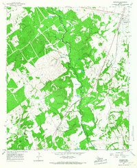
1965 · Marquez
USGS Topo · 1:24,000
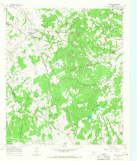
1965 · Donie
USGS Topo · 1:24,000