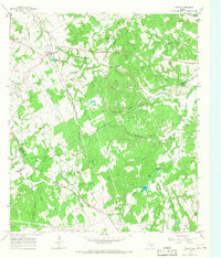
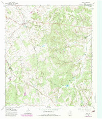
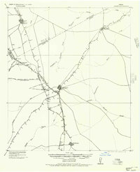
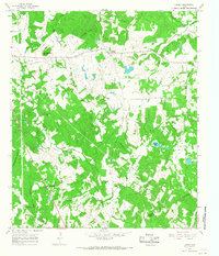
1965 Map of Donie
USGS Topo · Published 1968About this map
The town of Donie sits at a critical junction of transport and topography in Leon County during the mid-1960s. This survey records a landscape shaped by water and rail, where the Chicago Rock Island and Pacific and Denver and Rio Grande Western RR cuts a straight path through the drainage basins of Buffalo Creek and Alligator Creek. The rural character is defined by a dense network of family-named cemeteries and country churches, including Old Zion Cem and Spring Seat Ch, which served the outlying agricultural communities near the three-county border of Freestone, Limestone, and Leon.
Find a feature on this map
43 named features on this map. Tap any name to fly to it.
Don’t see what you’re looking for? This feature index may not catch every label — zoom into the map to look around manually.
Map Details
Editions of this 1965 Donie Map
2 editions found
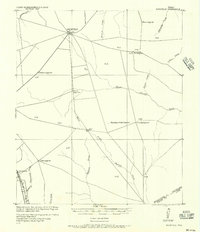
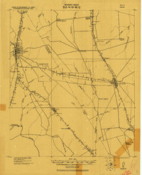
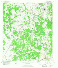
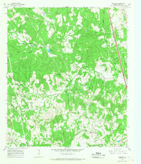
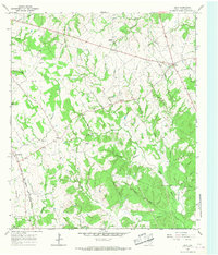
Other maps of this area
1919 · Fairfield
USGS Topo · 1:62,500
1920 · Mexia
USGS Topo · 1:62,500

1954 · Waco
USGS Topo · 1:250,000

1955 · Waco
USGS Topo · 1:250,000
1956 · Jewett
USGS Topo · 1:62,500
1965 · Jewett
USGS Topo · 1:24,000
1965 · Robbins
USGS Topo · 1:24,000
1965 · Dew
USGS Topo · 1:24,000
1965 · Lanely
USGS Topo · 1:24,000
1965 · Buffalo
USGS Topo · 1:24,000