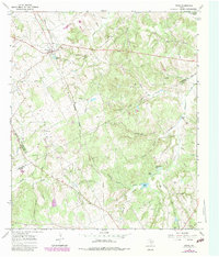
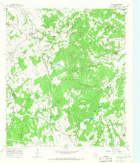
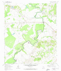
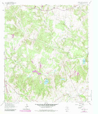
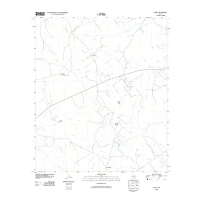
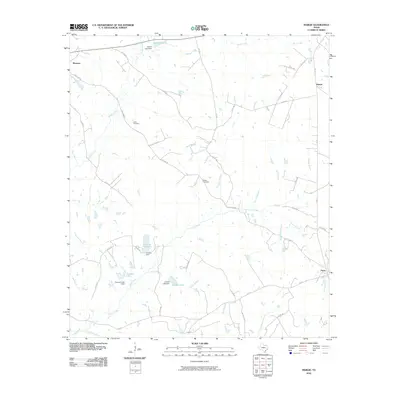
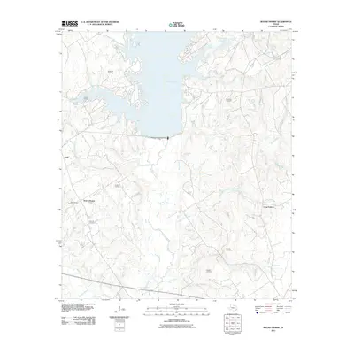
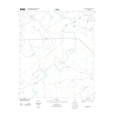
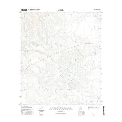
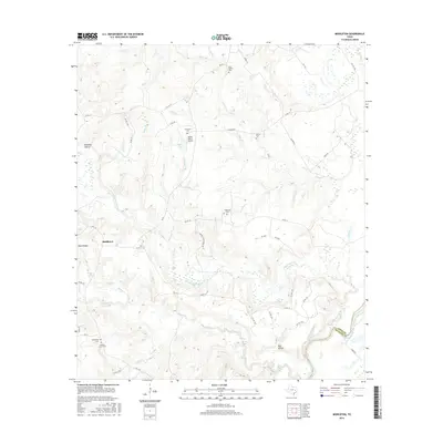
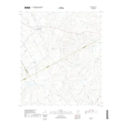
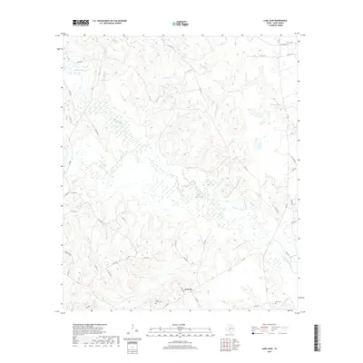
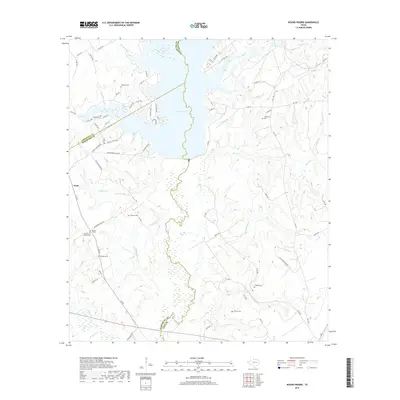
1965 Map of Donie
USGS Topo · Published 1983About this map
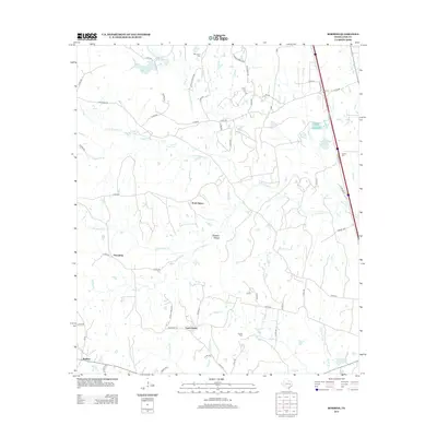
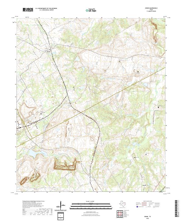
The community of Donie anchors the northwestern corner of this Texas landscape, where the Burlington Northern railroad cuts through the terrain near the Donie Res. Situated at the junction of Leon, Freestone, and Limestone counties, this map reveals a countryside defined by small-scale landmarks and local heritage sites. Family and community histories are preserved in the locations of numerous burial grounds and houses of worship, including the Old Zion Cem, Post Oak Cem, and Wilson Chapel.
Find a feature on this map
41 named features on this map. Tap any name to fly to it.
Don’t see what you’re looking for? This feature index may not catch every label — zoom into the map to look around manually.
Map Details
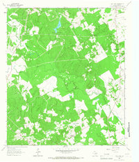
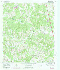
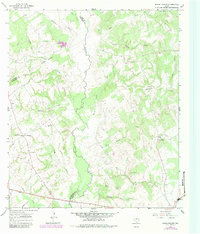
Editions of this 1965 Donie Map
2 editions found
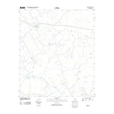
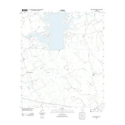
Historical Maps of Jewett Through Time
60 maps found
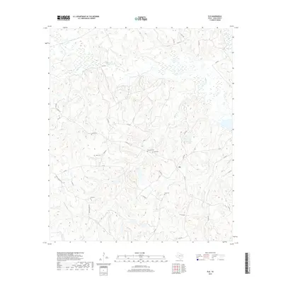
1964 Eunice
Leon County, TX
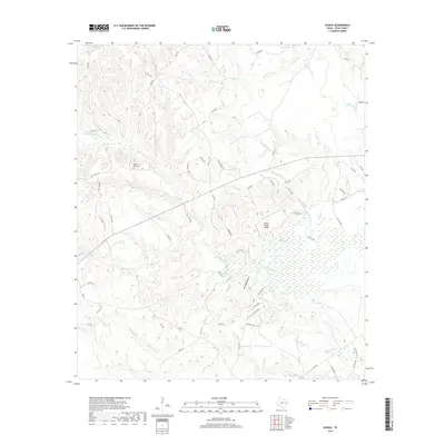
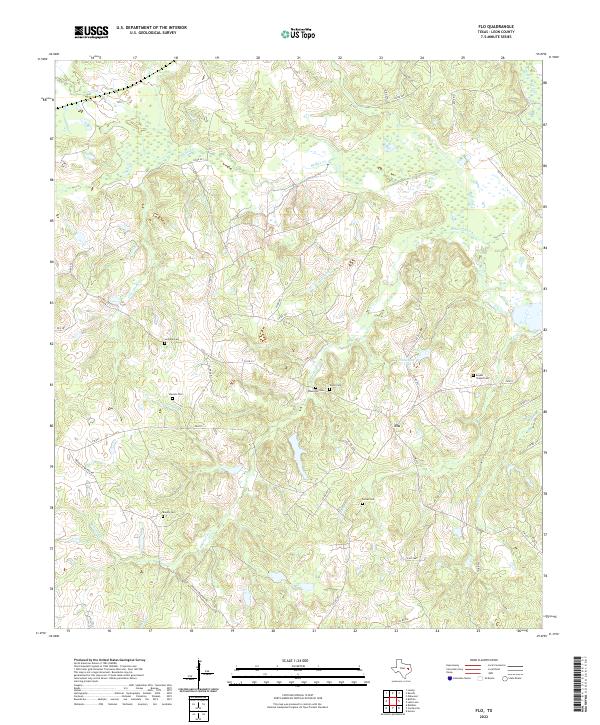
1964 Flo
Leon County, TX
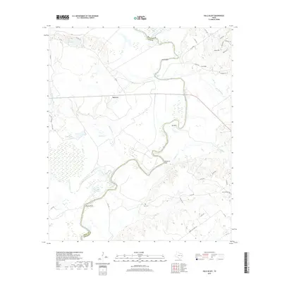
1964 Halls Bluff
Leon County, TX
1964 Lake Leon
Leon County, TX
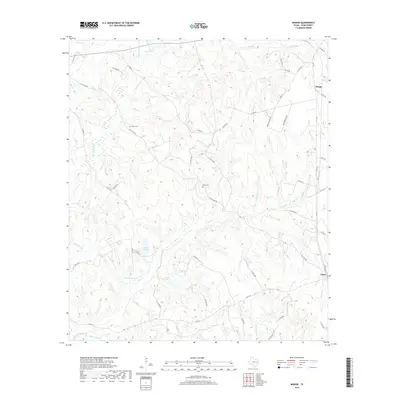
1964 Margie
Leon County, TX
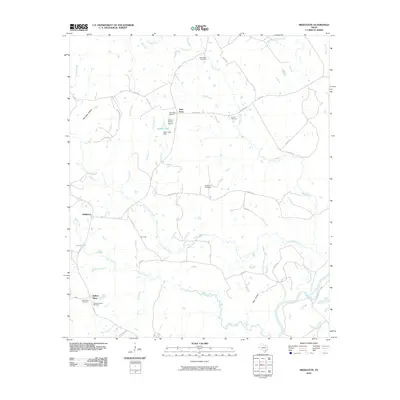
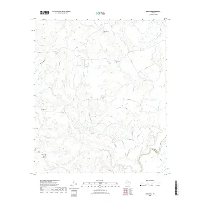
1964 Middleton
Leon County, TX
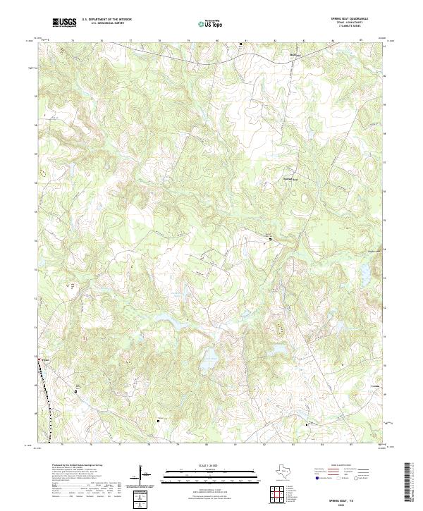
1964 Spring Seat
Leon County, TX
1965 Donie
Leon County, TX
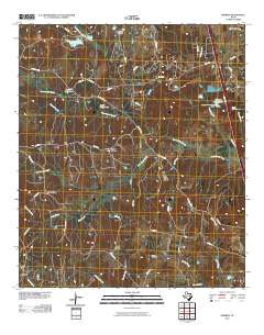
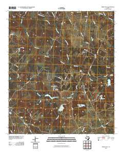
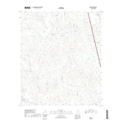
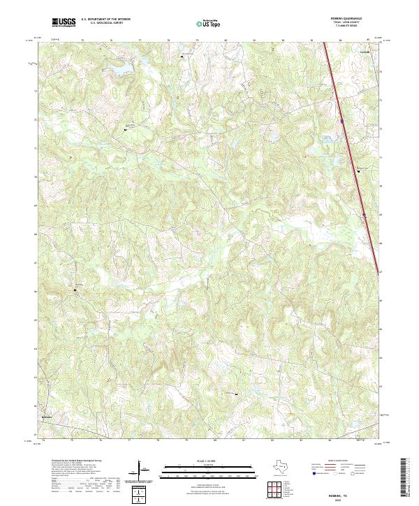
1965 Robbins
Leon County, TX
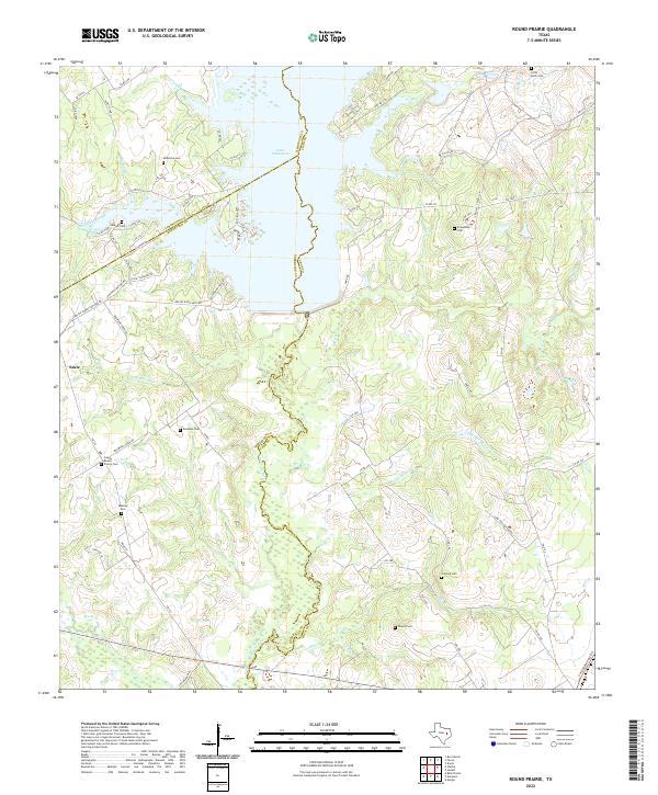
1966 Round Prairie
Leon County, TX
2010 Donie
Leon County, TX
2010 Eunice
Leon County, TX
2010 Flo
Leon County, TX
2010 Halls Bluff
Leon County, TX
2010 Lake Leon
Leon County, TX
2010 Margie
Leon County, TX
2010 Middleton
Leon County, TX
2010 Robbins
Leon County, TX
2010 Spring Seat
Leon County, TX
2011 Round Prairie
Leon County, TX
2013 Donie
Leon County, TX
2013 Eunice
Leon County, TX
2013 Flo
Leon County, TX
2013 Halls Bluff
Leon County, TX
2013 Lake Leon
Leon County, TX
2013 Margie
Leon County, TX
2013 Middleton
Leon County, TX
2013 Robbins
Leon County, TX
2013 Round Prairie
Leon County, TX
2013 Spring Seat
Leon County, TX
2016 Donie
Leon County, TX
2016 Eunice
Leon County, TX
2016 Flo
Leon County, TX
2016 Halls Bluff
Leon County, TX
2016 Lake Leon
Leon County, TX

2016 Margie
Leon County, TX
2016 Middleton
Leon County, TX
2016 Robbins
Leon County, TX
2016 Round Prairie
Leon County, TX
2016 Spring Seat
Leon County, TX
2019 Donie
Leon County, TX
2019 Eunice
Leon County, TX
2019 Flo
Leon County, TX
2019 Halls Bluff
Leon County, TX
2019 Lake Leon
Leon County, TX
2019 Margie
Leon County, TX
2019 Middleton
Leon County, TX
2019 Robbins
Leon County, TX
2019 Round Prairie
Leon County, TX
2019 Spring Seat
Leon County, TX
2022 Donie
Leon County, TX

2022 Eunice
Leon County, TX
2022 Flo
Leon County, TX
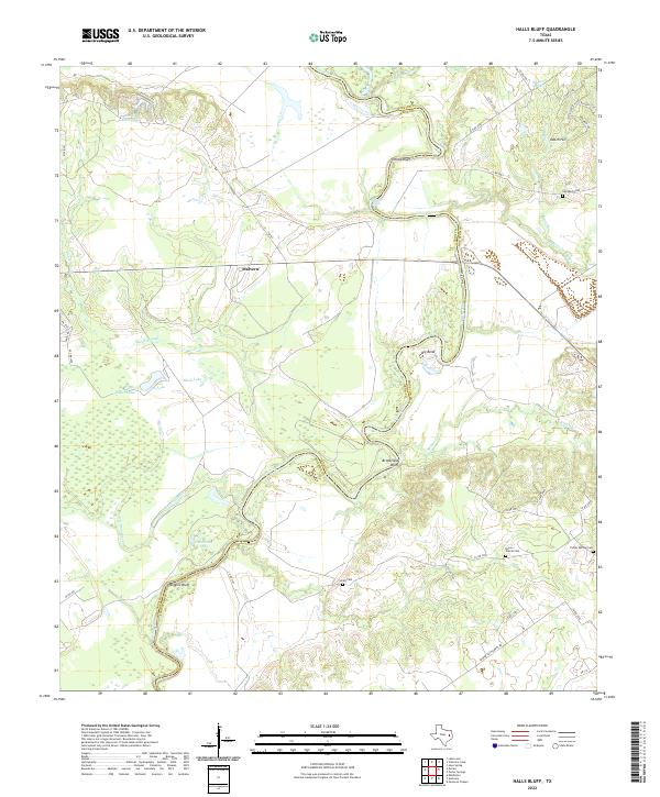
2022 Halls Bluff
Leon County, TX
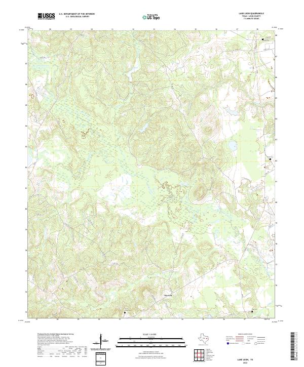
2022 Lake Leon
Leon County, TX
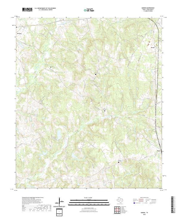
2022 Margie
Leon County, TX
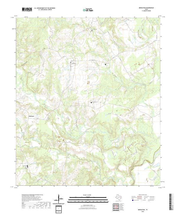
2022 Middleton
Leon County, TX
2022 Robbins
Leon County, TX
2022 Round Prairie
Leon County, TX
2022 Spring Seat
Leon County, TX